Browsed by
Tag: Nature

Hike #6005 – OTTER CREEK HORSE TRAILS – January 7th, 2012

Hike #6005 – OTTER CREEK HORSE TRAILS – January 7th, 2012

This has been a disappointing winter for skiers and snowshoers with a snow-free December and only a few flakes falling in early January.   Because of this we were grateful to Mary Misek, who lives in the area and graciously informed us by phone that the Horse trails had 6 inches of powder.

When we checked out the ski on Friday we found she was right; and that the trails were almost unspoiled by snowmobiles.  Unfortunately, by Saturday warm weather and Snowmobiles had moved in, exposing sticks, mud and the occasional rock.

As a result most of the six non-skiers were able to negotiate a five mile circuit up the Old Number Four Trail, across the Cleveland Lake Trail and back by the Frost Pocket and Proceeding trails without even using their snow shoes.

The rest of us skied the Payne Lake Loop, taking the Beach Mill Trail and straddling the esker above the Lake before skiing down the Frost Pocket.  Four skiers, not wanting to make that climb, and in a hurry to watch Syracuse defeat Marquette in basketball took a shorter way back via Beach Mill Road.  As a result, we arrived at our post hike destination, the River Valley Inn, at different times, and the late comers discovered that earlier arrivals had eaten all the chicken noodle soup.

By:  Harold Pier

In spite of all the obstacles, everyone enjoyed one of our favorite winter outings.

Hike #5999 – Tassel Hill – Dec 11, 2011

Hike #5999 – Tassel Hill – Dec 11, 2011

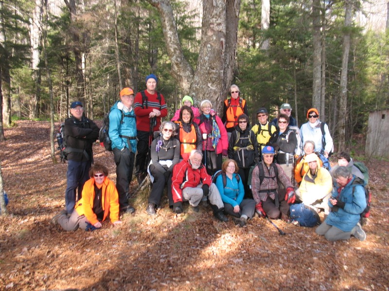
Sixteen Hikers enjoyed this beautiful sunny December day to hike to the highest point in Oneida County.  The lovely view and great company compensated for  a few slips and slides on the gravel road.  We had 3 new hikers out with us.  For 2 this was their 4th hike and for 1 his 2nd.

By:  Meg Higgerson

Hike #5996 – Victorian Stroll and Vroman’s Nose – Dec 3, 2011

Hike #5996 – Victorian Stroll and Vroman’s Nose – Dec 3, 2011

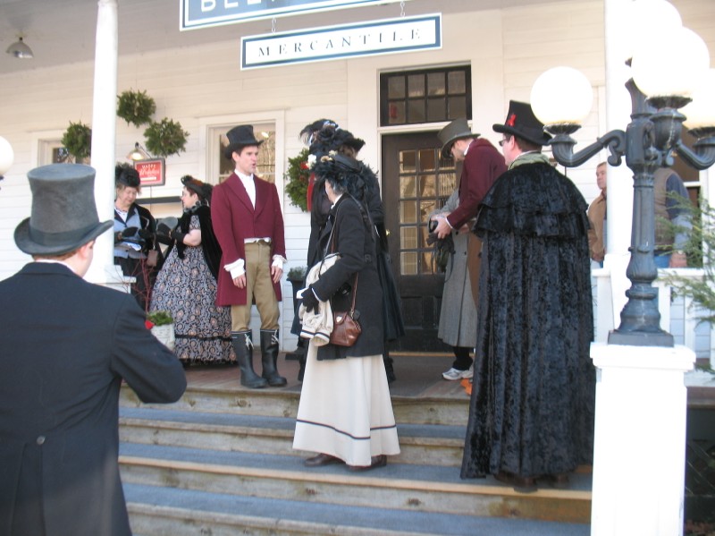
The group met at the Herkimer Thruway exit to carpool and travelled first to Sharon Springs and then on to the Nose.  22 hikers convened on the historic streets of Sharon Springs, met town folk in their Victorian garb , including one of the Beekman Boys in their mercantile store, and enjoyed the shops and side street walks to view the historic old hotels, baths, and homes. We even got a tour inside one of the homes now used as a B&B.


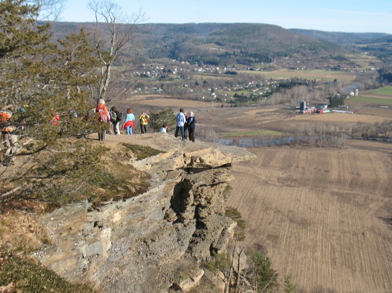
At the hike up Vroman’s nose, the sun warmed our faces on the cliff side.  The views were enjoyed by all, and the damage caused by Hurricane Irene were easily detected in the Schoharie Valley below us.

After the decision, some ventured back to Sharon Springs to eat, others stopped at a diner in Middleburgh.

Hike #5994 – Mystery Adventure – Nov 26, 2011

Hike #5994 – Mystery Adventure – Nov 26, 2011

We had a perfect day for Mystery and Hiking!!!   The 19 participants regrouped at Byrne Dairy in Thendara to learn that they would be going to the Sis and Bub parking area off Route 28.  At that point we all hiked the Vista Trail which provided us with a number of challenging climbs and descents along the esker overlooking Fourth Lake.  Our views were spectacular on this unusually warm November day. After the close to 3 mile hike on the Vista Trail, we returned to our vehicles via the easy TOBIE trail.

By:  Meg Higgerson

Hike #5992 – Beaver Lake – Nov 19, 2011

Hike #5992 – Beaver Lake – Nov 19, 2011

A beautiful day for November, sunny with a light breeze, and 23 Tramps, driving 11 miles of dirt road to get to the trailhead.  The hike was easy, on a well maintained trail. The hike was approximately 2.3 miles to an isolated lake that had been the site of an estate built in 1904.  No signs of the great camp could be found, even after a bushwhack along the lake shore. Blue skies at an old campsite provided our lunch stop.  There were no mishaps, no moose sightings, and Lu Blanchard as our sweep.  We gloried in a magnificent tree spotted during the return trip, which easily had a trunk diameter of 8 feet or more.  We stopped at the Hard Times Café for refreshment after the hike.

Hike #5980 – Penn Mountain – Oct 8, 2011

Hike #5980 – Penn Mountain – Oct 8, 2011

The day was cloudy but warm. We parked by the old Welsh chapel on E. Steuben Road. The hike up Penn Mountain was the steepest grade on the hike.

At the tee we turned right and went down the hill and up again to the cemetery. We examined the tombstones and checked the dates. Some people turned back at this point. We went down the hill past the cemetery to a low point which had a stream running over and was difficult to cross.

After the low point we turned left, and walked into the small pond that is in the area. The road was not in the best of condition. When we reached the dam for the pond we found that the day had been considerably torn up by wheeled vehicles that puts the pond and dam at risk.

After the pond we retraced our route down the hill to the cars. The trip down offered us a fine view of the Cincinnati valley.

Hike #5970 – West Branch of the Sacandaga River – Sept 11, 2011

Hike #5970 – West Branch of the Sacandaga River – Sept 11, 2011

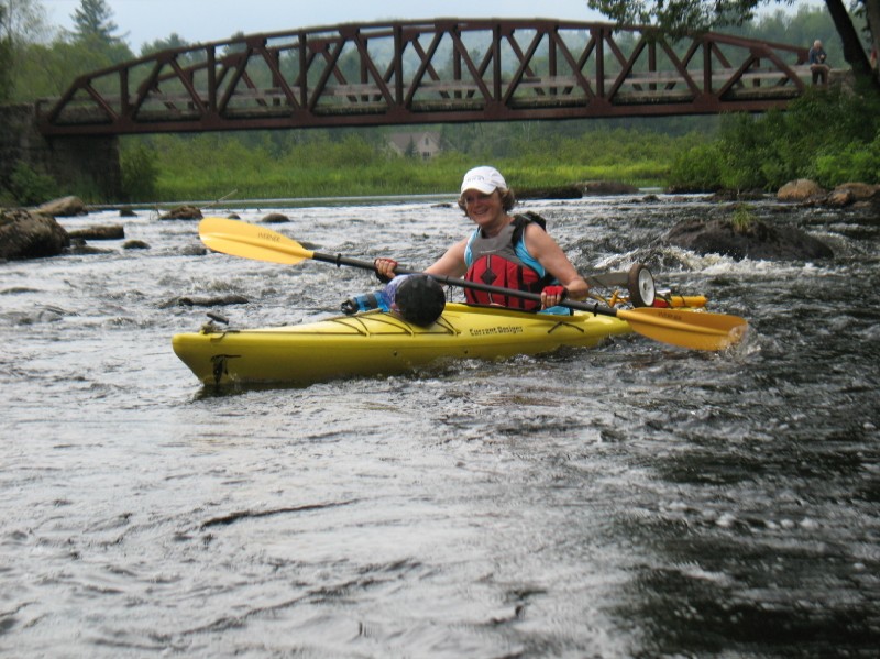
It’s an ill wind that blows nobody good; while the fringes of two hurricanes caused untold hardship and flooding for many people in the northeast they had the salutary effect of raising the level of the West Branch to an unprecidented height.

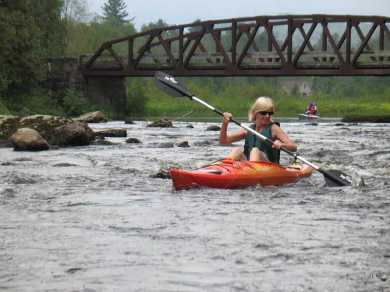
Three beaver dams that usually get in the way were nowhere to be seen, and the high water allowed us to plow through a log jam that had frustrated kayakers earlier in the summer.  An added bonus was our ability to explore Chub Pond, usually blocked off by mud and vegetation.  Here we witnessed blossoms of hundreds of pitcher plants, and viewed many unripe cranberries submerged in the clear water.

A harbinger of autumn, red maples growing on the low banks had already turned to scarlet and orange, in beautiful contrast to the green of towering white pines.  Usually the entrance to Trout Lake is difficult to find but today the whole lake opened up to us as we rounded a bend.  We landed at a campsite on the west shore for lunch and then, because of some ominous dark clouds, decided to continue on down stream without exploring Little Trout Lake.

Even riding a steady current, 9.2 miles is a long way to paddle, and our shoulders were starting to ache when we finally spotted our shuttle cars parked high above on the roadway near Shaker Place.  Pulling the kayaks up that steep bank is always a chore, but a rope and many hands made the job a bit easier.  It would be nice if the State could cut some steps into that bank to provide easier footing.  After getting the boats back on the car, some of us retired to Nancy Coleman’s camp on Pleasant Lake for a picnic lunch.  Thanks to Nancy for her hospitality.

By:  Harold Pier

Hike #5962 – Pillsbury Mountain – Aug 21, 2011

Hike #5962 – Pillsbury Mountain – Aug 21, 2011

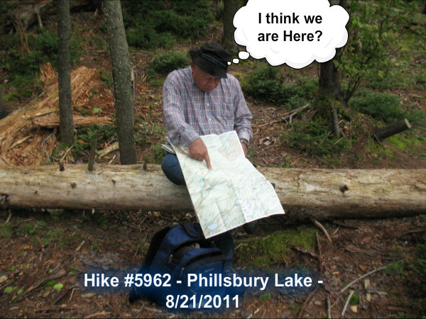
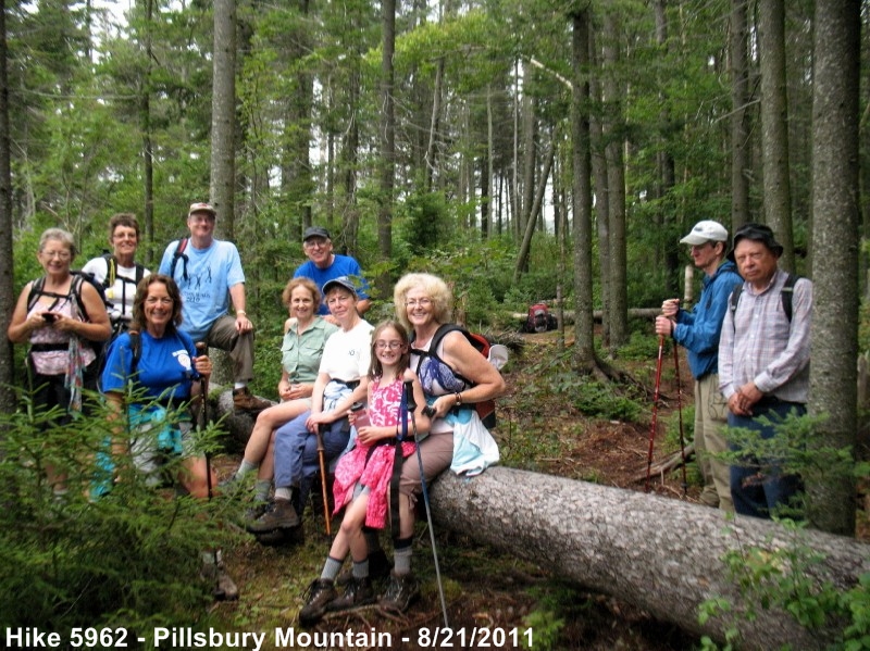
Pillsbury Mountain—ended up being Hike to Pillsbury Lake.

The day started with some patches of heavy rain in the Mohawk Valley.  On the drive to Speculator, we experienced thunder and lighting, not a good thing for climbing a mountain with a big metal ‘lightening rod’ on top (the fire tower).  So, we discussed the options and I suggested the hike to Pillsbury Lake which starts from the same parking area.  We had eleven club members and my 9 year old granddaughter.  It was a very enjoyable hike of 3.3 miles to a lean-to on the lake, where we stopped for lunch and pictures before starting back.


We went to Speculator Inn for dinner and libations.  The hike was a total of 6.6 miles and we didn’t even see a wisp of French Louie’s ghost !!  Darn!

Hike #5955 – Stillwater – Aug 6, 2011

Hike #5955 – Stillwater – Aug 6, 2011

The day was hot and sunny, with a chance of thunderstorms later in the day. We drove through Thendara, Eagle Bay and Big Moose to the south east bay of Stillwater Reservoir.

We launched the boats from the road and paddled around the island just across from the launch site. We choose to eat lunch on the beach that was just across from the launching area.

After lunch, we went back through the narrow channel between the island and the mainland to a bay to the northeast. There were many beaches here and we went to the end of the bay.

After exploring the bay we found a channel through the small islands along the shore. After a deliberation, we paddled into the next bay on the northeast shore. Since the lake gets much wider after this bay , we crossed the lake to the South shore. There was a moderate head wind which created some small waves.

Finally we proceeded along the South shore, through a bay back to the launch site and took out.

The striking thing about the lake is the large number of sandy beeches, a rarity in the Adirondacks.

After the hike we went to the Wetback Inn for some refreshments.

By:  Richard Miller

Hike #5942 – Rich Lake to the Hudson – July 3, 2011

Hike #5942 – Rich Lake to the Hudson – July 3, 2011

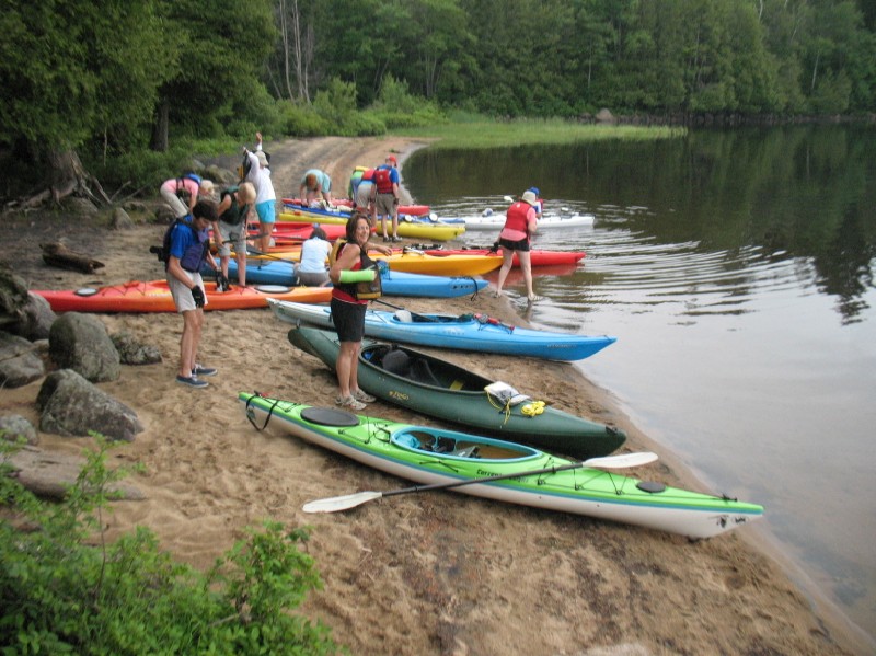
After shuttling cars and kayaks, 13 kayakers, started off in beautiful Rick Lake.

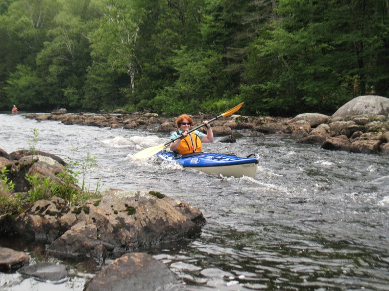
We soon came to the first and largest “rapids”.   With high water, it appeared that it would be navigable and Don, brave soul, took the lead.   As he disappeared, Madonna soon followed.  Don in the meantime rushed back to tell us that it was a 2 foot drop off as he watched Madonna gracefully take the plunge.   The rest of us carried around but many of us regretted for the rest of the day that we had not tried it!!

We had a few more rapids and some tried to go down them backwards but not having the experience of Grace, we were unable to maneuver it!

We lunched at Great Camp Santanoni where Bill brought us beverages, and then proceeded to the Hudson and back.    It was another perfect day and those in the group who were staying the night in Newcomb came back to the Higgerson’s for “leftovers”.

By:  Meg Higgerson