Browsed by
Category: 2014

#6284 – Berkshire Adventure – June 3 – June 5, 2014

#6284 – Berkshire Adventure – June 3 – June 5, 2014

Write-up: Bobbie Scarpino
Leaders: Bobbie Scarpino, Paul Fortin

The weather forecast called for gloomy, rainy skies as 20 tramps started out to drive the 140 miles to North Adams, MA for a three-day midweek, multi-activity adventure. But when we arrived at the Holiday Inn on Tuesday, June 3, we were greeted instead with sunshine and temperatures in the 80’s. After checking in and changing into biking clothes, all drove the few miles to the Adams Visitor Center to begin our first adventure of biking on the paved Ashuwillticook Rail Trail – Round trip 22 miles.
The scenery was beautiful. In some sections the trees formed a canopy tunnel for us to pass through. Mt. Greylock and other mountains in the Appalachian chain flanked one side. The Hoosic River bubbled and flowed along the trail for a while. Another section of trail ran close to the edge of the Cheshire Reservoir.
At the farthest end of the trail in Lanesboro, a cell phone was checked for a weather update. A severe thunderstorm was heading our way and would be upon us soon. Our bikes grew wings as we flew back the 11 miles to the cars. The sky became so dark that it became difficult to see the trail in the canopied area. We were hoping that Dick Blanchard would come to our rescue with his headlamps to light the way! As bikes were loaded onto the cars, the first raindrops fell. Everyone quickly headed to CJ’s Sports Bar located alongside the Ashuwillticook Trail to wait out the worst of the storm while enjoying a cold beverage.

Scan 142370008-2

Scan 142370008-3

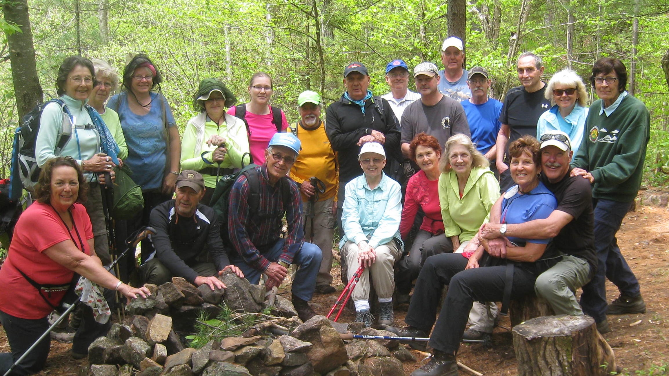
The next day, June 4, dawned with a wet ground and low clouds covering the tops of the mountains . . . but no rain! Our adventure this day was to hike Mt. Greylock, highest point in Massachusetts, on the Appalachian Trail. After meeting in the hotel lobby to plan our route, ten tramps decided to hike to the summit of the mountain along the Hopper Trail (or as Paul called it, “Hawpa”), total distance 5.4 mi. Four adventurous Tramps decided on a route out of the ordinary, beginning at the summit and hiking down and then hiking back up. This hike was done as a loop to Jone’s Nose and had a total distance of 8 mi. Six Tramps believed that this would be the best opportunity to kayak the Cheshire Reservoir, since Thursday’s forecast called for rain all day. As all of us started out on our different adventures, the sun broke through the clouds, making it a perfect day enjoyed by all.

IMG_4901 IMG_4150.1

IMG_4921

Scan 142370008

Hike #6283 – OHIO BIKE/HIKE – June 1, 2014

Hike #6283 – OHIO BIKE/HIKE – June 1, 2014

Write-up by Carol Dippolito

We had 22 hikers, bikers out today.  The weather was perfect and the black flies stayed away.  Mike and Janice Huss led the hike which totaled 4.7 miles, Chuck Balser led the 18 mile bike and Carol Dippolito led the 8 mile bike.  Everyone commented that they enjoyed what they did.  We ended up at the Ohio Tavern for a delicious meal.


Hike #6279 – GLEASMAN FALLS – May 24, 2014

Hike #6279 – GLEASMAN FALLS – May 24, 2014

Gleasman Falls from JIm - 5

Write-up by Barb Thomas.

The remote falls are located on the Independence River near the Otter Creek Horse Trails. We had a beautiful day for this remote hike. It was necessary to drive on Beach Mill Rd. for about two miles to reach the parking area. As we started up Beach Mill Rd., we could see a small buggy with a horse and driver. We followed her, as with the narrow road there was not room to pass. When she arrived at a place she could pull over, there was an elderly lady driving the small white horse. We talked with her for several minutes and it was a pleasure to have this conversation. She apologized for being so slow on the hill. We assured her that we enjoyed following her horse and buggy up the hill. She explained she was driving the dirt road down to Cleveland Lake and planned to do a loop.
She said her horse was 20 years old and slow on the hills. (The horse is not the only one that moves slowly up the hills.) As we were leaving her, she said it was a delight to talk with us and we were very kind. We left her with a good impression of the Tramp and Trail Club. It was indeed a pleasure to meet with her.

We continued on the dirt road to the end and parking area. Everyone prepared for the hike and we were off. We crossed Burnt Creek on a large wooden bridge. The trail is well marked and not difficult. We did have a couple wet areas due to recent rain but it truly is an enjoyable trail to hike. As we proceeded, we passed an old large pond area with fallen trees and old beaver house. We continued on this well-maintained trail but it does have hills.

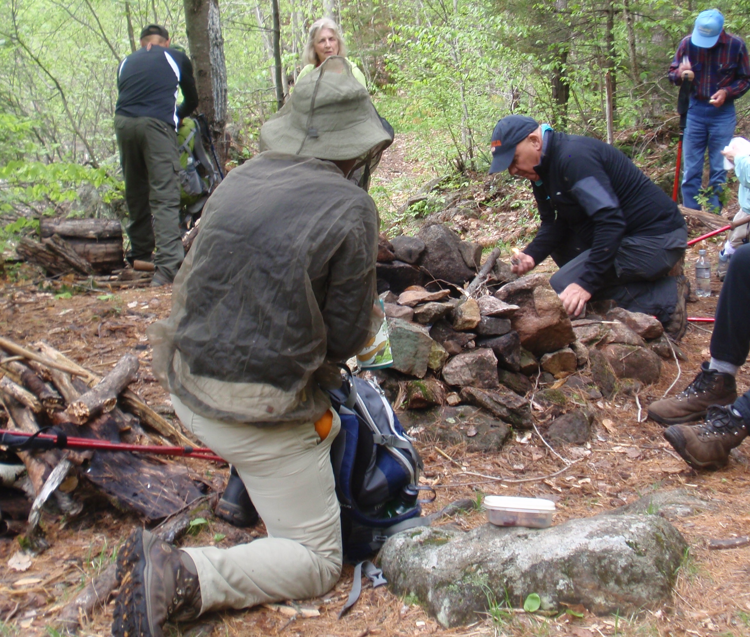
As we hiked along the trail we could hear the waterfalls in the distance. We crossed another stream over a small creek and climb up a hill and came to the informal campsite. Roger built a fire and this helped to keep the bugs away from us.

OLYMPUS DIGITAL CAMERA

After lunch, we made our way up the path along the falls, stopping to get great views of the rushing water through narrow ledges and over rocks. We reached the top of the falls and as you looked up stream the water was calm and flat—what a difference!
Of course, there was picture taking along the falls. We turned around at the top and returned to the informal campsite. We gathered up our packs and made our way back along this interesting trail. There were a variety of wildflowers near the trail. This area is a great place to visit and the hike is only six miles in total.

OLYMPUS DIGITAL CAMERA

OLYMPUS DIGITAL CAMERA

It was back to the parking area and the Tramps prepared to move slowly down the dirt road and back to Erie Canal Road. We continued back to the Boonville Hotel for some cold refreshments. It truly was a beautiful day and we visited an area that many Tramps had never seen. It was enjoyable to sit outside at the Boonville Hotel and enjoy conversation and exchange memories.


Hike #6269 – SLEEPING BEAUTY MOUNTAIN LOOP – April 13, 2014

Hike #6269 – SLEEPING BEAUTY MOUNTAIN LOOP – April 13, 2014

IMG_0223

Write-Up by: Nancy Coleman

Eight hearty Tramps started out very early after attending the Annual Dinner Meeting the night before. The weather at best was iffy. The pre-hike on Wednesday was in snow and water even at this late date in the year. Since then the weather has been in the 60’s meaning much of the snow would be melted and I was hoping that the water had run off. The hike description said, “in the Spring with the snow melt, the trail turns into a river.” Oh dear.
The weather was good to us. It is a beautiful trail to hike and unlike most Adirondack trails there are switchbacks. Everything was fine until we got past the switchbacks on the steepest section. On Wednesday we were hiking through packed snow. Today the snow had melted. All that was left was slippery, glare ice with water flowing over it. We all got to the overlook without incident.
We enjoyed a windblown lunch on the top (not the true summit) with a wonderful view of the Green Mountains of Vermont and the high peaks of the Adirondacks with ice covered Lake George just below us. Now we had to plan our trip back.
On Wednesday we were not able to take the back of the loop because of deep snow and no snow shoes. Upon checking the trail we could see that hikers had walked there today. We started out on unexplored territory believing it could be no worse than what we had seen.
It was for sure the correct decision. We crossed through a small stream. Saw Bump Pond and a beautiful waterfall flowing through a huge chunk of pristine, blue ice. Much of the trail was the river described in the write-up, but as true Tramps we all had a great day.

IMG_0233

Hike #6265 – PENN MOUNTAIN – March 30, 2014

Hike #6265 – PENN MOUNTAIN – March 30, 2014

 There once was a chap named Dick,

Whose wife Lewellyne was sick,

In all of his dreams,

the women it seems

Surrounded his body with Tramps

Jim W.

IMG_5708

A gregarious gent named James

took record of outings on frames

His camera did click

and recorded a Dick

surrounded by several dames.

Lu B.

Hike #6241 – QUEER LAKE – January 18, 2014

Hike #6241 – QUEER LAKE – January 18, 2014

Write-up by:  Nancy Coleman

Fifteen hearty Tramps set out for a difficult hike after a week of rain and snow and cold weather.  This is an 8 mile hike which includes a good amount of elevation change.  Due to the time of year with short days, we kept a good pace to get out without headlamps.

Jim and Lorrie Wasielewski and I had checked out the hike on Tuesday in the misty rain and we did take a shortcut.  One of our members had asked if the hike could be shortened.  The shortcut followed a stream that was filled with flowing water.  We had to hike on the slanted sides which were covered in snow and ice.  It was also poorly marked.  Needless to say we hope we never have to do that again and would not recommend it to anyone.

That left the actual hike partially unchecked.  Ray Spahn stayed up with me and helped me many times when the trail was unclear.

We had a wonderful spot for lunch, the lean-to at Queer Lake.  Even though it adds another 1.6 miles to hike into and out from the lean-to, it is well worth the effort.

A tired group stopped for beverages on the way home.  One hiker admitted to sleeping 11 hours after the hike.  I plum tuckered her out.


Hike # 6253 – TWIN LAKES SNOWSHOE – February 22, 2014

Hike # 6253 – TWIN LAKES SNOWSHOE – February 22, 2014

IMG_0111

Write-up by Barb Thomas

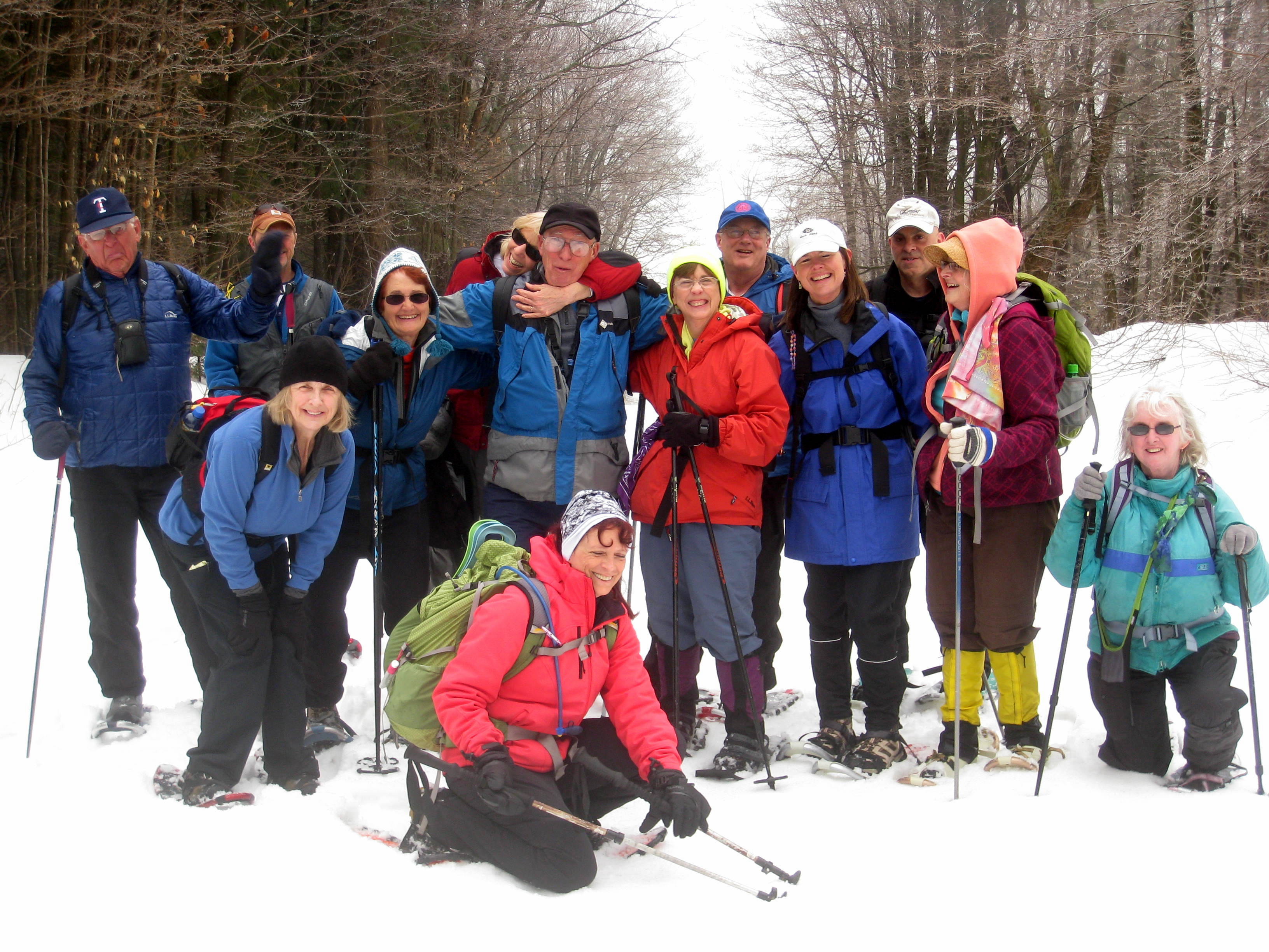
We left Mapledale and stopped at Sunoco Convenience Station and then continued to the Buffalo Head parking area, with a total of 29 tramps. We continued on North Lake Rd. to the intersection of Farr Rd. We drove to the plowed parking area but with many cars it was necessary to park on the roadside. The Tramps prepared for our adventure. Off we went on the packed trail. A group of college students had been in the area on an outdoor adventure and the trail was packed from their equipment sleds. (Louie and I met the group two weeks earlier at South Lake and they told us about their planned trip).

IMG_0112

We proceeded to the beaver area and did not want to cross the area as water was visible in the open part. We crossed on the old beaver dam and made our way back to the trail. The snow was not packed on this trail and required trail-breaking in VERY deep snow.

It was lunch time and we gathered for the lunch break. It was here that some people wanted to return on the same trail and others wanted to continue to Twin Lakes about 1/2 mile. (10 continued and 19 returned on the trail back to the parking area.)

IMG_0118

Once the larger group reached the trailhead, it took about 30 minutes for the Twin Lakes group to return. We decided to stop at the Buffalo Head for refreshments. Time for everyone to gather and talk about their adventure of the day.

Twin Lakes is a beautiful wilderness area. The dam was built in the 19th century to provide water for the Erie Canal system. It is a beautiful area for outdoor activities.


Hike #6238 – COLGATE X-C TRAIL – January 5, 2014

Hike #6238 – COLGATE X-C TRAIL – January 5, 2014

Write-up by:  Bobbie Scarpino

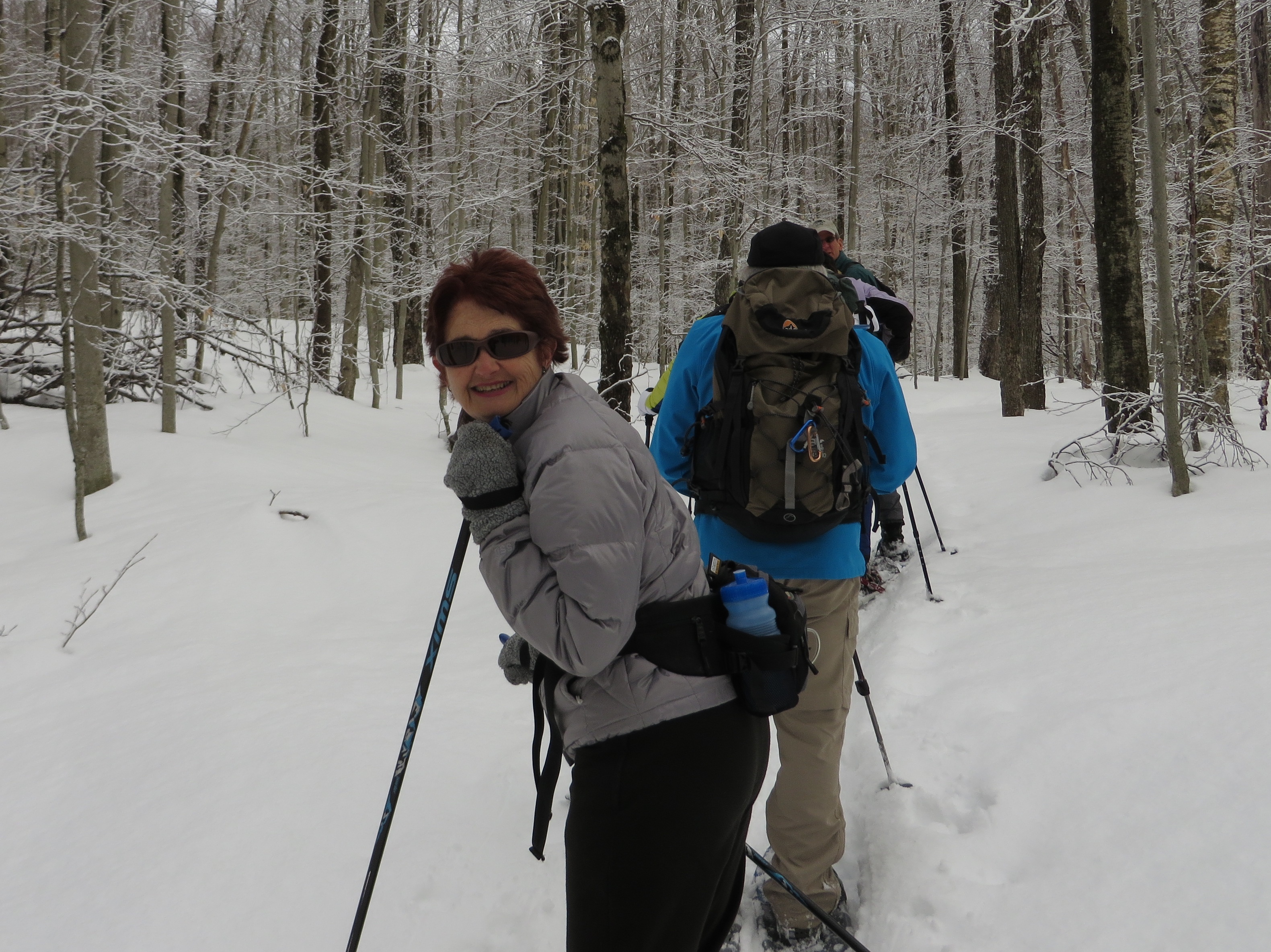
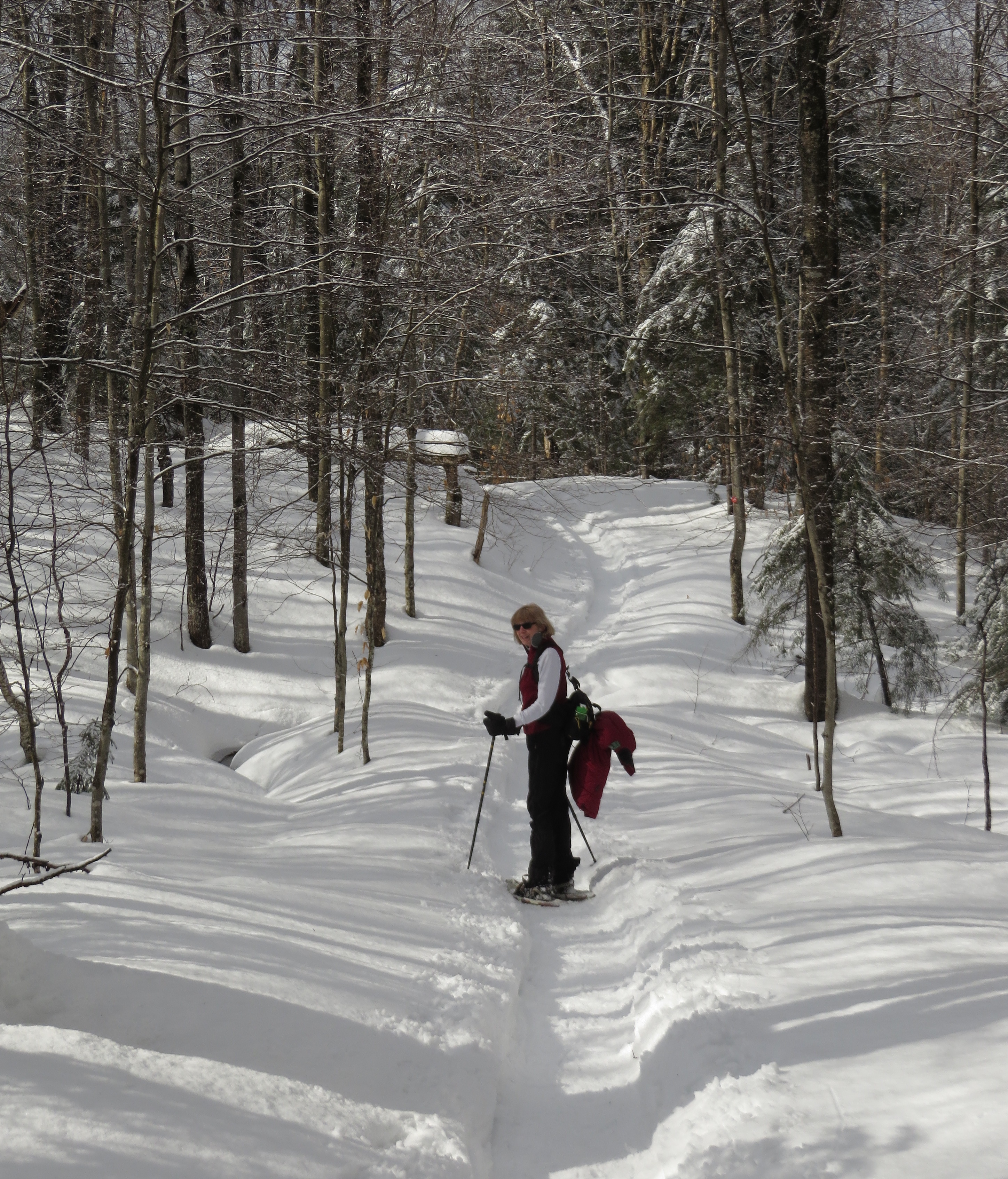
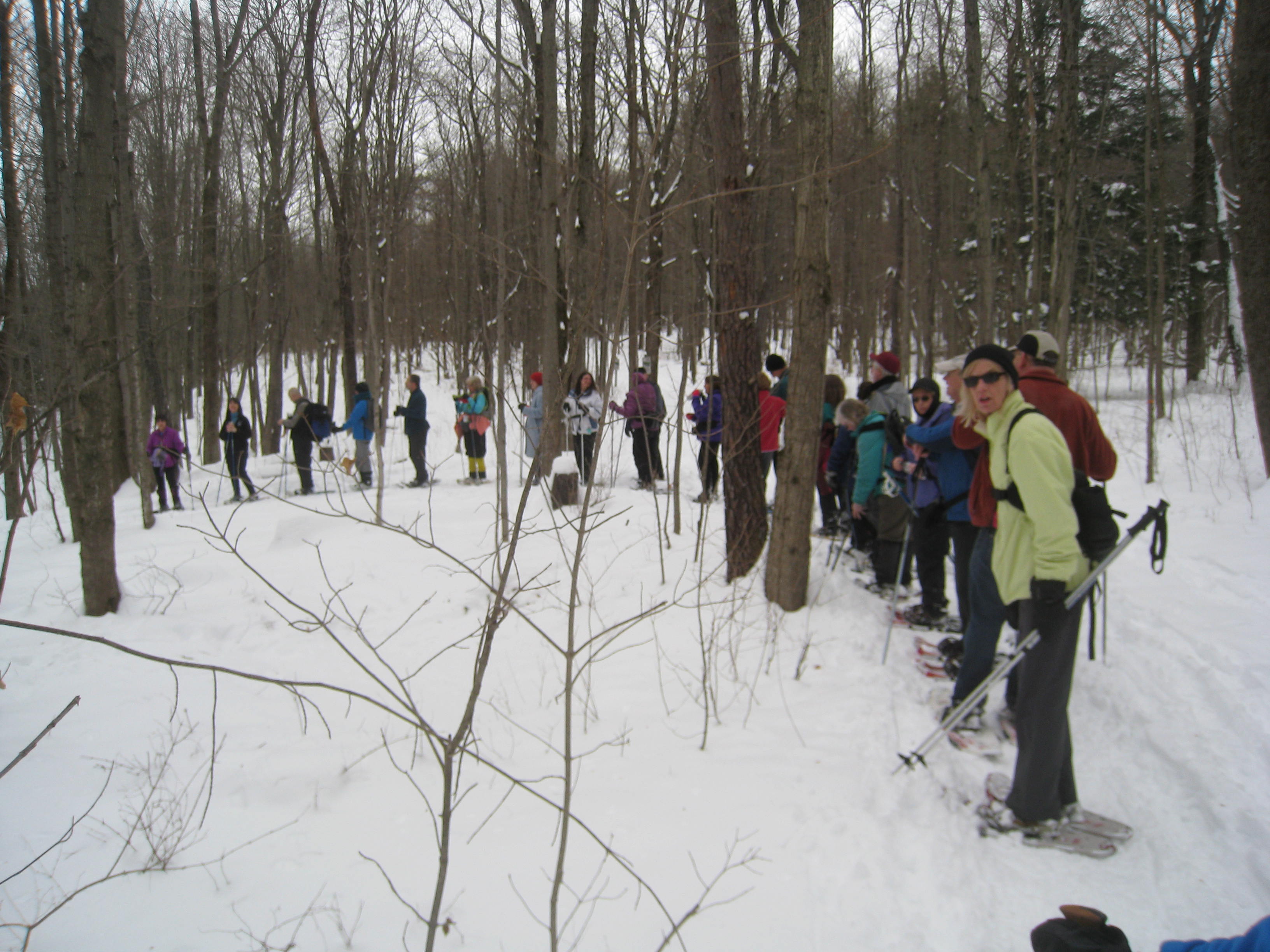
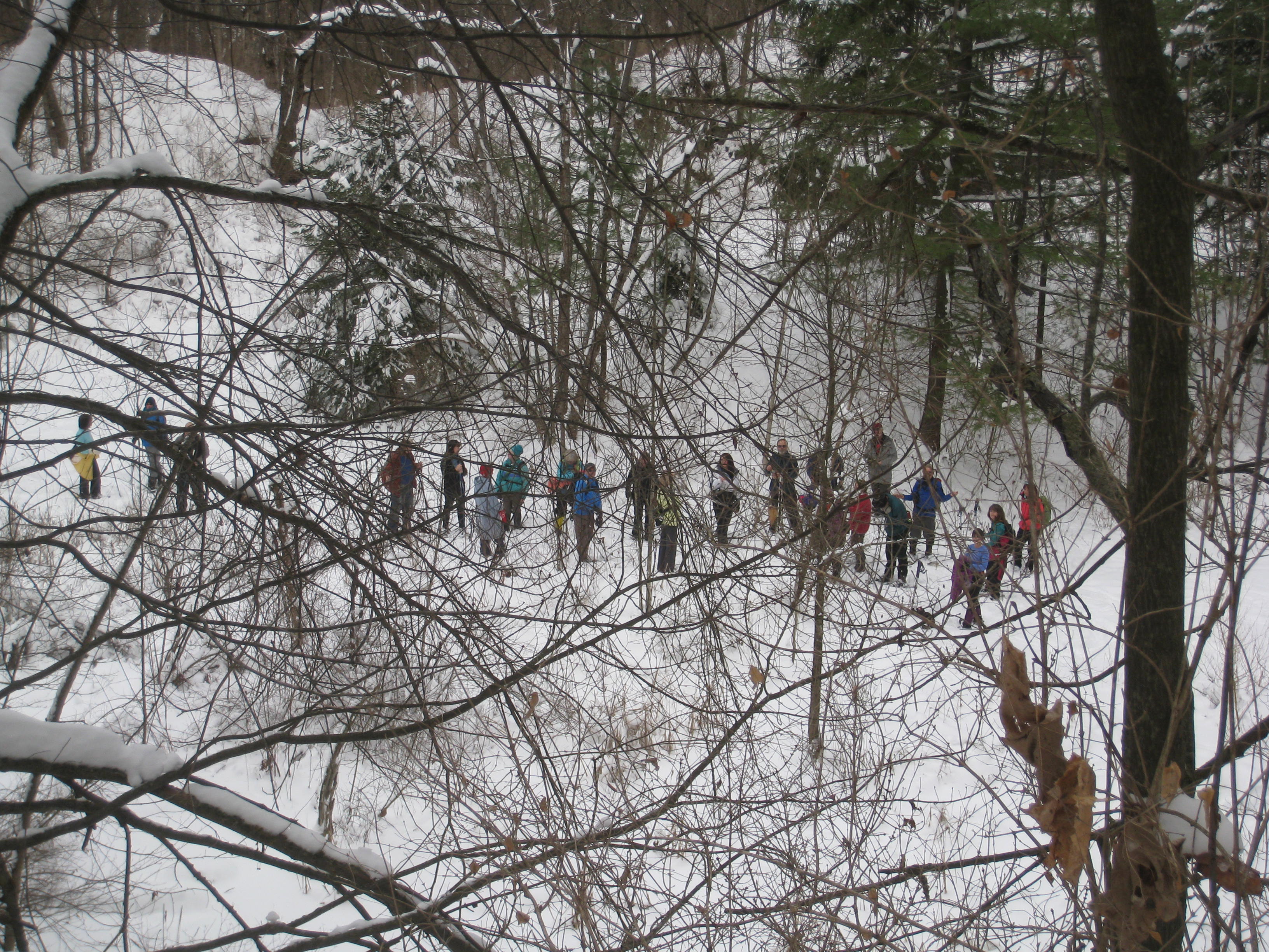
IMG_5333Lots of snow and beautiful views of the hills to the west greeted 32 snowshoers on the Colgate University X-C fitness trail.  The trail starts as a gradual uphill slope for the first half mile and then ascends more steeply for the next mile and a half.  The quarry makes for an interesting stop for a snack or lunch.  It’s all downhill on the return loop with a mandering trail through the “Geometric Forest” – a stand of conifer trees.  28 people completed the 4 mile hike.  It should be be noted that hikers should b e prepared with proper equipment for the scheduled hike, checking that snowshoe are in working condition and fit correctly!

IMG_5327