Browsed by
Category: 2011

Hike #5971 – “Little Long Lake Moonlight Paddle” – Sept 12, 2011

Hike #5971 – “Little Long Lake Moonlight Paddle” – Sept 12, 2011

This warm, late summer evening was the perfect setting for a moonlight paddle on Little Long Lake.   The small group of 8 Tramps put their kayaks in at the public launch site around 6:30 p.m. with Jean Y. as Leader and Diana M. as Co-leader.  After spraying down kayaks with disinfectant to insure nothing foreign was introduced to this beautiful lake, the group paddled into the setting sun circling the island in calm waters.  Although the loons were not in site, a lazy turtle was still lounging on a branch hovering in the water soaking up the last rays of the sun.

As the night sky came upon us, we paddled past beaver dams that showed no activity and through marshy areas of vegetation until the last beaver dam prevented us from further access.  As we headed back from the far end of the lake, we combed the skyline in anticipation of sighting the Full Moon that was scheduled to be up at 7:35 p.m.   In the evening dusk the lake’s surface painted a beautiful scene with it’s mirror-like reflection replicating the sky and trees above it.  Peaking through the tree trunks the bright orange circle was spotted, generating a sense of excitement.  We paddled on leisurely, watching the moon rise above the trees, spotting a beaver swimming along the surface and snapping some pictures.  The moon’s reflective light instilled a sense of quiet and peace among the group allowing one’s spirit to soak up the beauty of the moment.

Hesitantly, we paddled back under starlit skies towards the two beacon lights we left hanging along shore to lead us home.    After cautiously loading the kayak’s in the shadowed darkness, the experience was sweetened with homemade cookies.  It is hoped that all went home with restored souls.

By Jean Y.
Hike #5970 – West Branch of the Sacandaga River – Sept 11, 2011

Hike #5970 – West Branch of the Sacandaga River – Sept 11, 2011

It’s an ill wind that blows nobody good; while the fringes of two hurricanes caused untold hardship and flooding for many people in the northeast they had the salutary effect of raising the level of the West Branch to an unprecidented height.

Three beaver dams that usually get in the way were nowhere to be seen, and the high water allowed us to plow through a log jam that had frustrated kayakers earlier in the summer.  An added bonus was our ability to explore Chub Pond, usually blocked off by mud and vegetation.  Here we witnessed blossoms of hundreds of pitcher plants, and viewed many unripe cranberries submerged in the clear water.

A harbinger of autumn, red maples growing on the low banks had already turned to scarlet and orange, in beautiful contrast to the green of towering white pines.  Usually the entrance to Trout Lake is difficult to find but today the whole lake opened up to us as we rounded a bend.  We landed at a campsite on the west shore for lunch and then, because of some ominous dark clouds, decided to continue on down stream without exploring Little Trout Lake.

Even riding a steady current, 9.2 miles is a long way to paddle, and our shoulders were starting to ache when we finally spotted our shuttle cars parked high above on the roadway near Shaker Place.  Pulling the kayaks up that steep bank is always a chore, but a rope and many hands made the job a bit easier.  It would be nice if the State could cut some steps into that bank to provide easier footing.  After getting the boats back on the car, some of us retired to Nancy Coleman’s camp on Pleasant Lake for a picnic lunch.  Thanks to Nancy for her hospitality.

By:  Harold Pier

Hike #5967 – Inman Gulf – Sept 4, 2011

Hike #5967 – Inman Gulf – Sept 4, 2011

With weather predictions for rain and a heavy deluge just passing through the Mohawk Valley, 10 people braved the weather, drove up to, and hiked the Inman Gulf.  After checking out the Oak Rim Trail the day before; it was the consensus of the group to do the Homerun Trail to John Young Nature Trail, and down the Inman Gulf Trail to view Rainbow Waterfalls.  We stopped for lunch at a picnic table and swing, then proceeded down the trail where we quickly picked up the smell of a wood fire smoldering.  We came upon a campfire still with hot embers.  Harold called it in to the rangers, as we didn’t have enough water amongst us to put it out.  The waterfalls were surprisingly low on water flow, considering the amount of recent rainfall and Hurricane Irene.  After approximately 6 miles of hiking loops and returning to our cars, we drove to the Boonville Hotel for dinner.

Hike #5966 – Blue Plate Special – Sept 3, 2011

Hike #5966 – Blue Plate Special – Sept 3, 2011

Last night one of our most treasured members, Pete Pliniski, aged 96, took his last steps down the trail, and I would like to dedicate this bike hike to him.

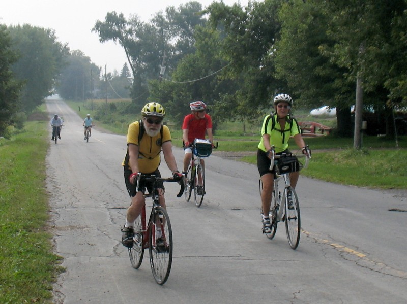
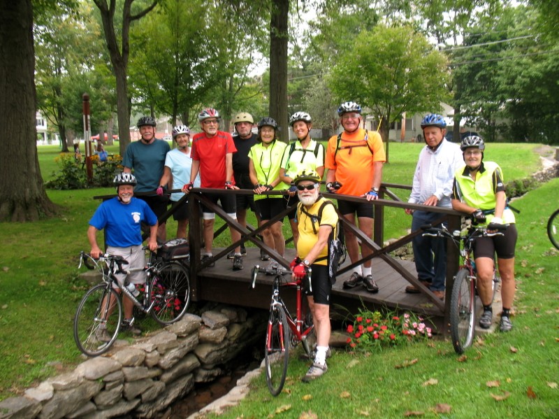
The name Blue Plate Special has no particular significance except that near the end of our ride we experienced a pleasant downhill run on Blue Road before returning to Trenton Town Park.  The day was cloudy and unpleasantly muggy and we found that rest stops were almost more strenuous than biking, where the wind surpressed some of the funkiness.

A highlight of this route is the two mile downhill run on Rt. 274 into Holland Patent where speeds of 38 MPH are routinely and safely achieved.  We stopped for lunch at the village green in Holland Patent and had the added bonus of touring a farmer’s market and buying such delicacies as molasses cookies baked by the son and daughter in law of Jim Gage, one of our long time members.  After Blue Road a three mile jaunt took us back to Trenton Town Park and a delicious chocolate-zucchini cake baked by Nancy Coleman.

By:  Harold Pier

Hike #5963 – Sucker Brook Bay – Aug 27, 2011

Hike #5963 – Sucker Brook Bay – Aug 27, 2011

The day was beautiful; sun with patchy clouds, a light breeze, and 15 Tramps; converging on the trail from Uncas Road to Sucker Brook Bay.  The trail was wide with a few blow-downs to scramble over.  The hike was approximately 3 miles to a sandy beach, blue skies, a lone loon in the bay.  There were no mishaps, no moose sightings, and Jerry Stelma as our sweep.  We met at the Tap Room at Raquette Lake village for a beer.

Hike #5965 – Stone Quarry Art Park – Aug 26, 2011

Hike #5965 – Stone Quarry Art Park – Aug 26, 2011

Hurricane Irene had everyone up and down the East Coast shivering with fright—even days before she arrived. The Weather Service predicted tremendous rainfall, flooding and hurricane-force winds.

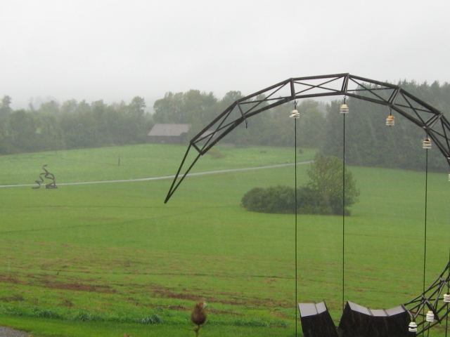
So the Tramp & Trail Club hike for the Stone Quarry Art Park in Cazenovia seemed destined to failure. Despite a cold, steady rainfall, fog and gusty winds, co-leaders Pat M. and Jack P. carried through. No one showed up Madison Central School after 15 minutes of waiting, but we proceeded to our destination anyway. The art park was open, as scheduled.

Other cars were driving in, but their passengers were not interested in our hike. They had been invited, it appears, to a party at the caretaker’s house. Standing atop the tall hill in the parking lot, Jack’s umbrella ripped apart as soon as he stepped out of the car, but mine continued to shield me from the storm. We started to explore the trail through the woods, but it was impossible to stay day. We hiked perhaps 100 yards, then retreated. Nevertheless, the hike was officially recorded.

The Village of Cazenovia and a cozy diner beckoned. The college kids had arrived and the diner was packed with families. The frazzled waitress was annoyed when I asked for the soup du jour. “We didn’t have time to make it today!” she said, implying that they did not expect many guests on the day a hurricane was forecast.

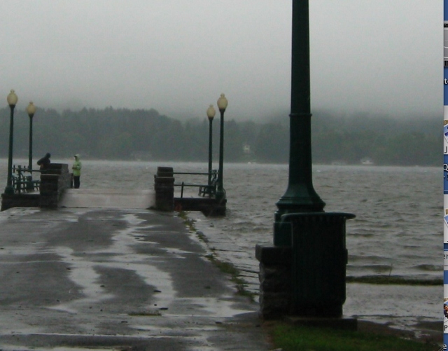
Sitting by the window and seeing many passersby, it looked like an ordinary rainy, autumn afternoon. We learned later that the hurricane bypassed our neck of the woods and instead struck with unexpected ferocity farther east, especially the Southern Tier into Vermont.

Though the roads were still passable on our return trip, we saw significant flooding of farmer’s fields on Rt. 12 outside Waterville. Back in New Hartford, Genesee St. was closed off at the bridge near the Rt. 8 intersection due to high water. Thankfully, I found my house intact with excess water in the cellar only.

By Pat M.

Hike #5962 – Pillsbury Mountain – Aug 21, 2011

Hike #5962 – Pillsbury Mountain – Aug 21, 2011

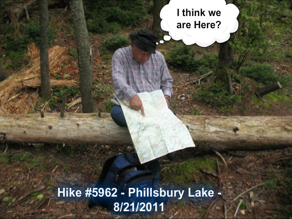
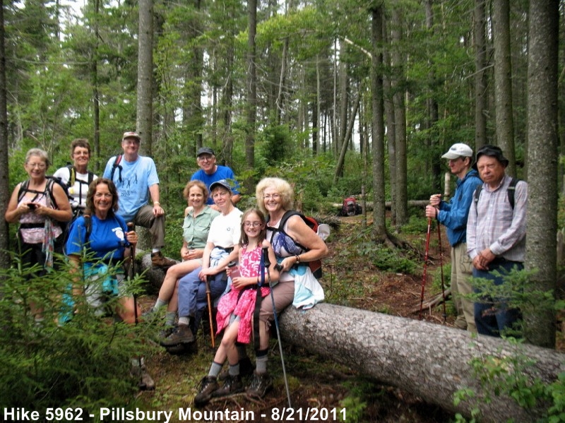
Pillsbury Mountain—ended up being Hike to Pillsbury Lake.

The day started with some patches of heavy rain in the Mohawk Valley.  On the drive to Speculator, we experienced thunder and lighting, not a good thing for climbing a mountain with a big metal ‘lightening rod’ on top (the fire tower).  So, we discussed the options and I suggested the hike to Pillsbury Lake which starts from the same parking area.  We had eleven club members and my 9 year old granddaughter.  It was a very enjoyable hike of 3.3 miles to a lean-to on the lake, where we stopped for lunch and pictures before starting back.


We went to Speculator Inn for dinner and libations.  The hike was a total of 6.6 miles and we didn’t even see a wisp of French Louie’s ghost !!  Darn!

Hike #5955 – Stillwater – Aug 6, 2011

Hike #5955 – Stillwater – Aug 6, 2011

The day was hot and sunny, with a chance of thunderstorms later in the day. We drove through Thendara, Eagle Bay and Big Moose to the south east bay of Stillwater Reservoir.

We launched the boats from the road and paddled around the island just across from the launch site. We choose to eat lunch on the beach that was just across from the launching area.

After lunch, we went back through the narrow channel between the island and the mainland to a bay to the northeast. There were many beaches here and we went to the end of the bay.

After exploring the bay we found a channel through the small islands along the shore. After a deliberation, we paddled into the next bay on the northeast shore. Since the lake gets much wider after this bay , we crossed the lake to the South shore. There was a moderate head wind which created some small waves.

Finally we proceeded along the South shore, through a bay back to the launch site and took out.

The striking thing about the lake is the large number of sandy beeches, a rarity in the Adirondacks.

After the hike we went to the Wetback Inn for some refreshments.

By:  Richard Miller

Hike #5951 – Echo Cliffs on Panther Mountain– July 21, 2011

Hike #5951 – Echo Cliffs on Panther Mountain– July 21, 2011

Many Tramps would like to see more short Sunday afternoon hikes to accommodate those who prefer less strenuous activities but still would like to get some exercise and appreciate the beauty of our mountains, lakes and streams.  In addition, an afternoon hike is popular with people who don’t get out of church until after twelve O Clock.  With this in mind, Nancy Coleman planned this short but sweet or as some would say, short but steep hike culminating in a beautiful view of Piseco and Oxbow Lakes and the surrounding hills.  As one hiker, Betty Kelly, who used to live on Piseco Lake related, her children used to climb Panther Mountain and return while she was preparing dinner. .  For two members the hike turned out to be a bit more strenuous; Frank Guilfoil inadvertently left his pack and car keys at the summit and he and Nancy Coleman had to make the climb a second time to retrieve it.

On the other hand, this hike used to be part of a triathlon that included a bike around Piseco Lake followed by a swim.  When Madonna Fellows got wind of Nancy’s plan she hastily organized the triathlon beginning at 10:00 AM.  Thirteen other Tramps elected for the triathlon and we met them as they were descending the trail and later joined them for a swim and a chicken barbeque graciously provided by Coleen Welch at her camp on Higgins Bay.  She and her husband also gave free Jet Ski rides to the east end of the lake to view an immature bald eagle perched on a limb beside its nest.

By:  Harold Pier

Hike #5944 – Kunjamuk River to Elm Lake – July 4, 2011

Hike #5944 – Kunjamuk River to Elm Lake – July 4, 2011

Some forty odd years ago when I first canoed the Kunjamuk, Elm Lake was a wilderness paradise with a single campsite on a gravel beach along its eastern shore.  Surrounded by posted paper company forests it was inaccessible to anything but canoes and kayaks.  My six-year-old son even found an aboriginal celt, proving that others had occupied our campsite in ancient times.  Since then dirt roads have introduced motorized vehicles and there are three cabins, one occupying the site where I used to camp.

Nancy Coleman and I checked out the route one week before July 4 and found the water very high, making it almost impossible to pass under the two bridges and to paddle against the strong current in four miles of sinuous curves.  However when our group of 18 Tramps arrived at Kunjamuk Bay we found that the water level had dropped an amazing five feet!  This made for much easier paddling and no problems under the bridges, but it also uncovered a number of beaver dams and fallen logs.  Tramp teamwork enabled us to pull everyone over these obstacles and even to help out a young family of three who were kayaking the river for the first time.

Six of our members tired of the game after the third beaver dam and eyeing the threatening clouds returned to the put-in, but the rest of us soldiered on to a pleasant lunch on the western shore of Elm Lake.  With the current in our favor we had an easy paddle back to the bay, followed by a stop for late lunch at Logan’s in Speculator.  Because of the threat of white nose disease the state has closed all caves, so we canceled a planned side trip to Kunjamuk Cave.  Many thanks to Nancy Agen for serving as starter at Mapledale.

By:  Harold Pier