Browsed by
Author: mconnors921

#6453 – Root Glen and The Path at Sunset Hill – November 1, 2015

#6453 – Root Glen and The Path at Sunset Hill – November 1, 2015

Write-up: Meg Higgerson
Leader: Meg Higgerson
Co-Leader: Charlene Zebley

It was a beautiful, warm and bright November 1st as thirty hikers walked from the Hannaford Parking lot and proceeded up College Hill. What a parade! One passerby asked us what we were protesting!

TnT Root Glen Clinton
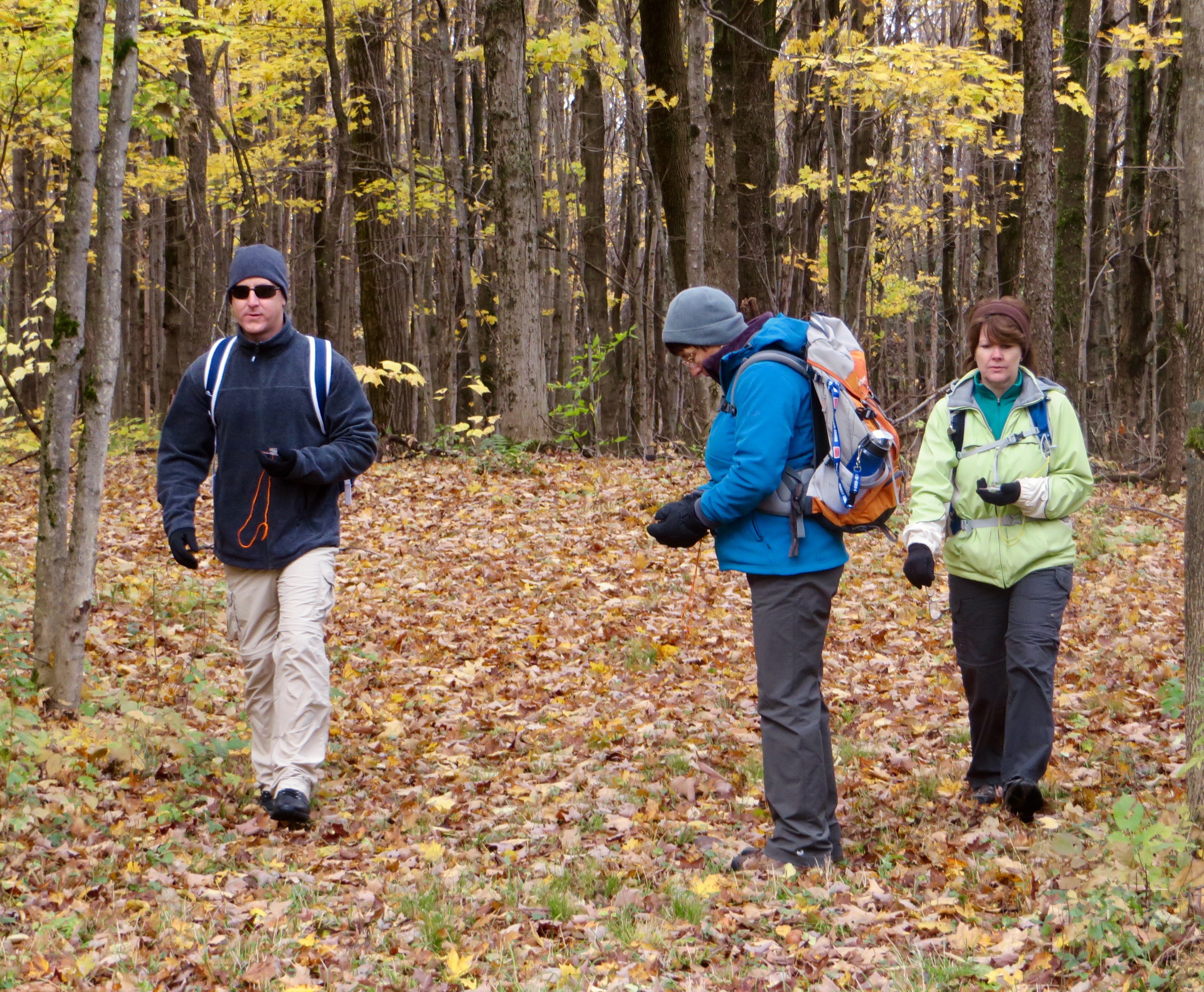
We then entered Root Glen and enjoyed typical Tramp camaraderie as we hiked the lovely shale paths of the Glen. We then left Root Glen and hiked the trails of Hamilton College. Many commented on the loveliness of these woods and the possibility of scheduling the area for a future ski.

TnT Root Glen Clinton


TnT Root Glen Clinton


TnT Root Glen Clinton


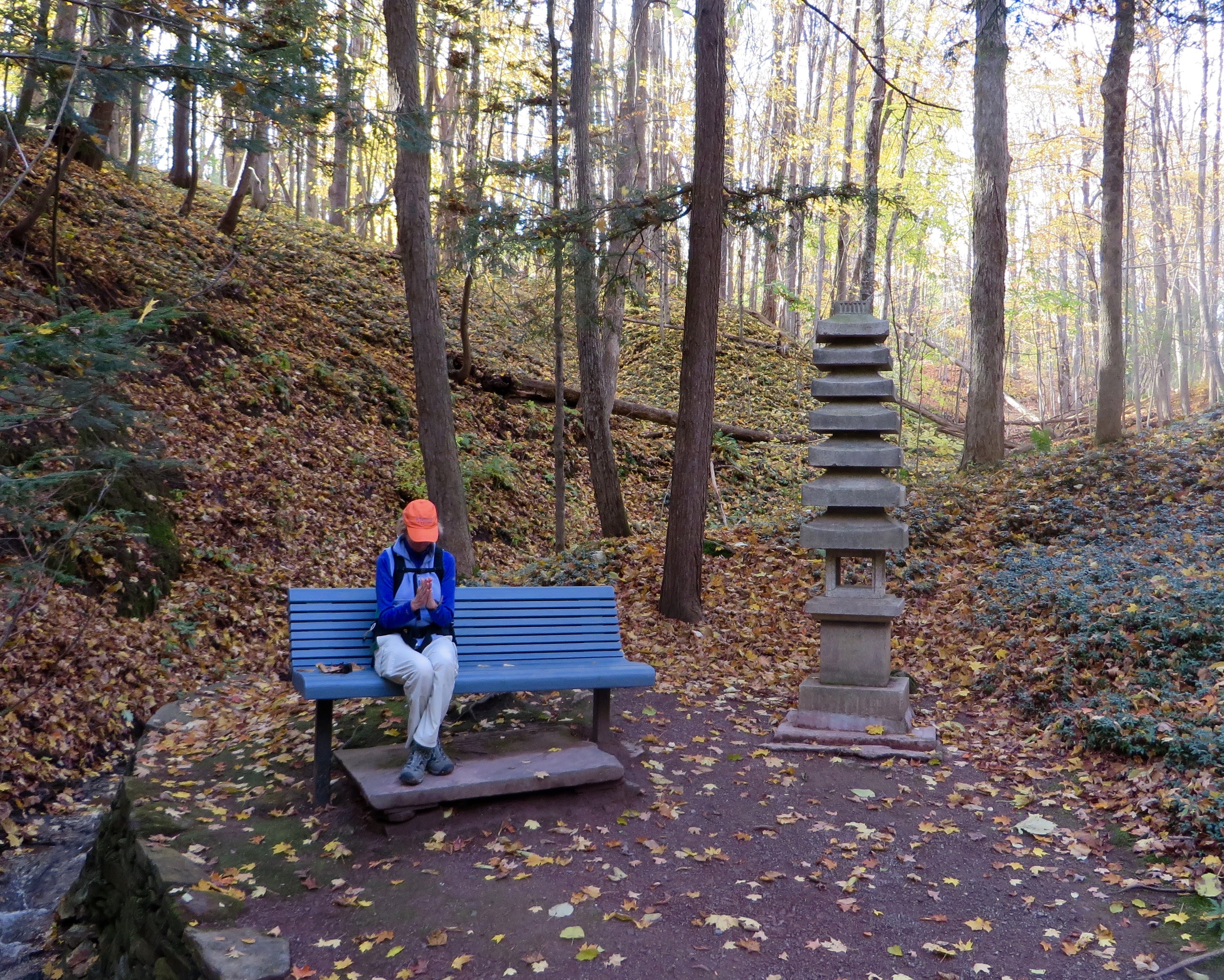
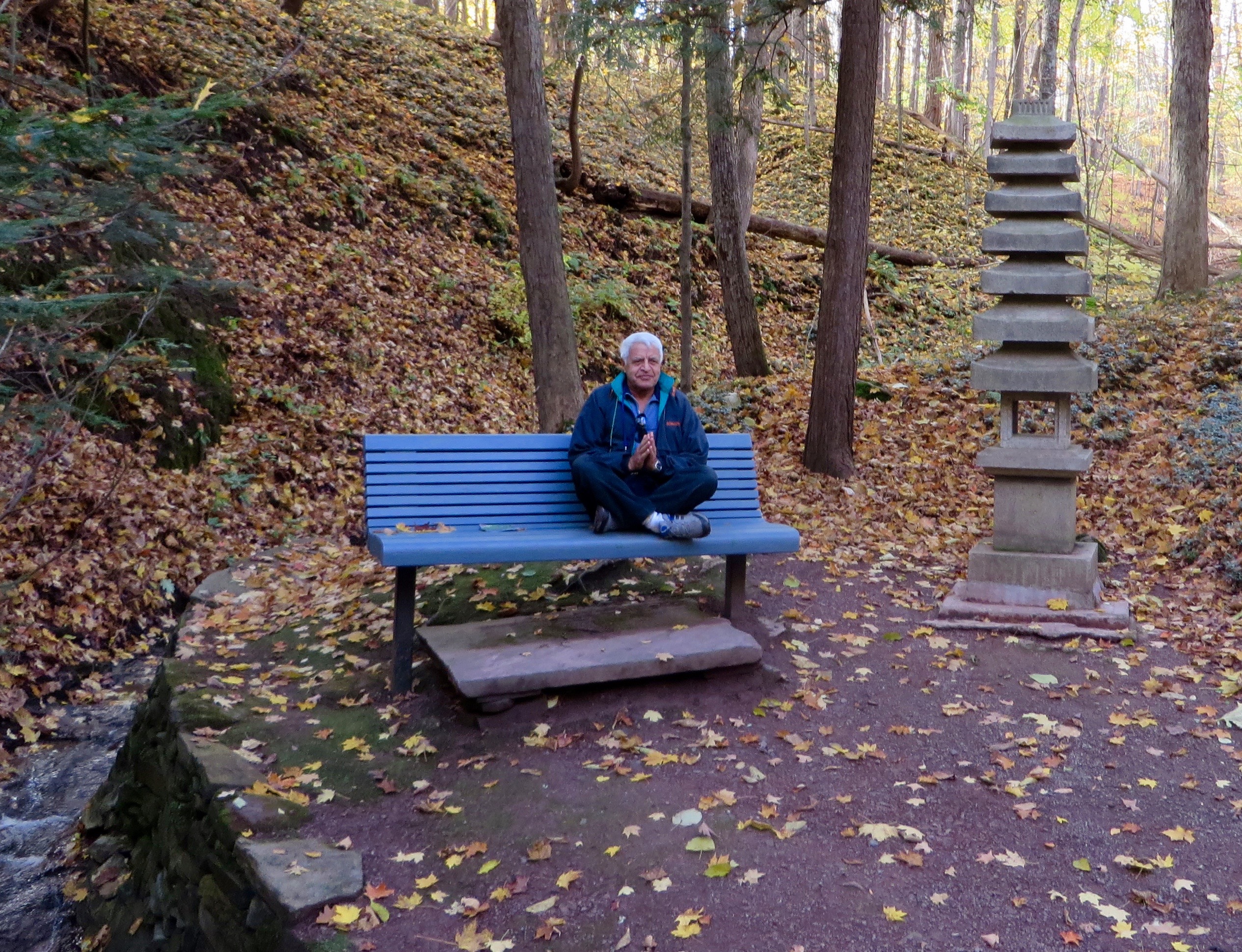
We then walked down College Hill and back toward the vehicles. Before departing, many of us took another walk through the Sunset Hill Cemetery to the new “Path” that serves as a meditation area, with benches overlooking a great view of the valley.

TnT Root Glen Clinton TnT Root Glen Clinton

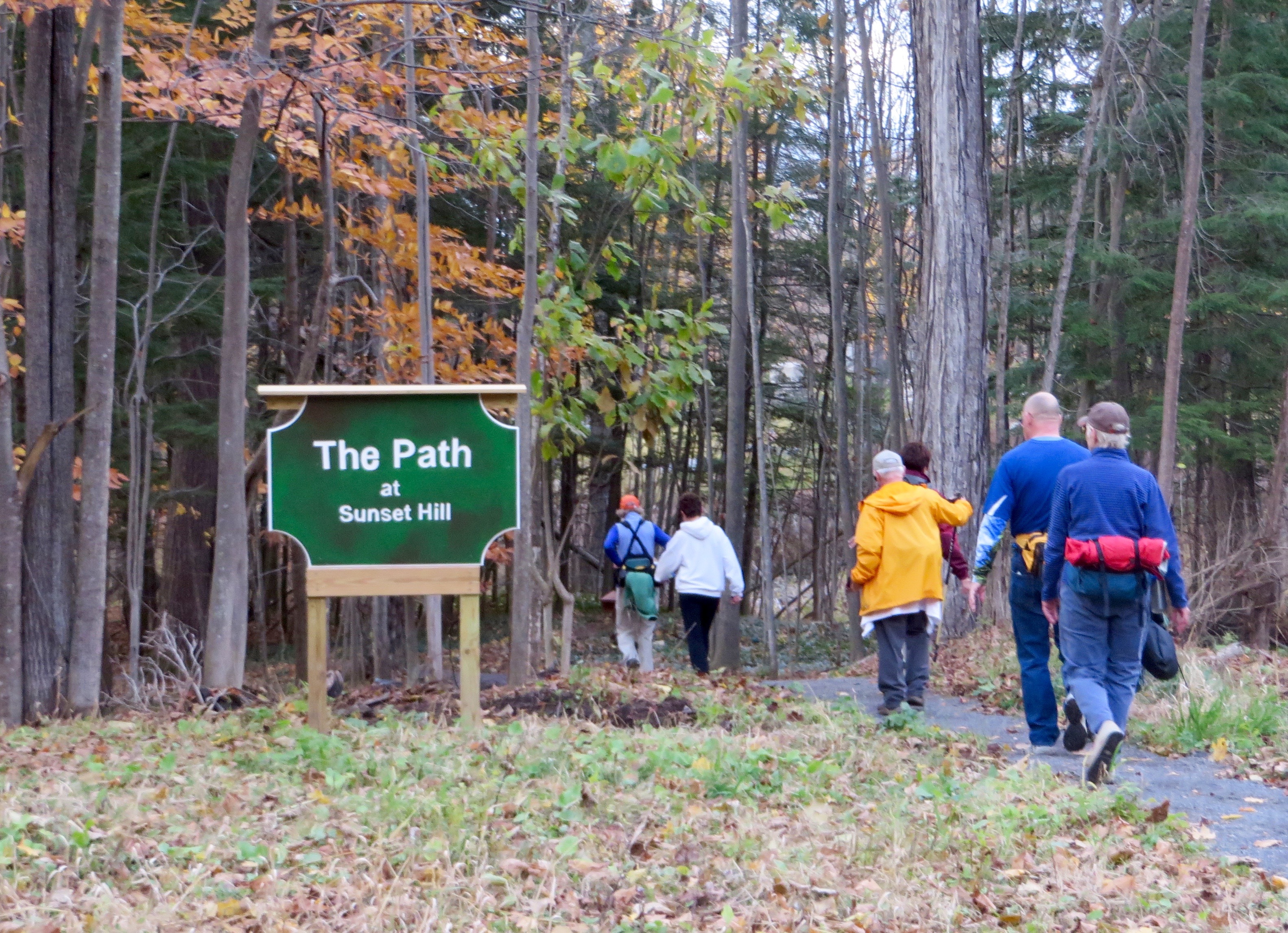
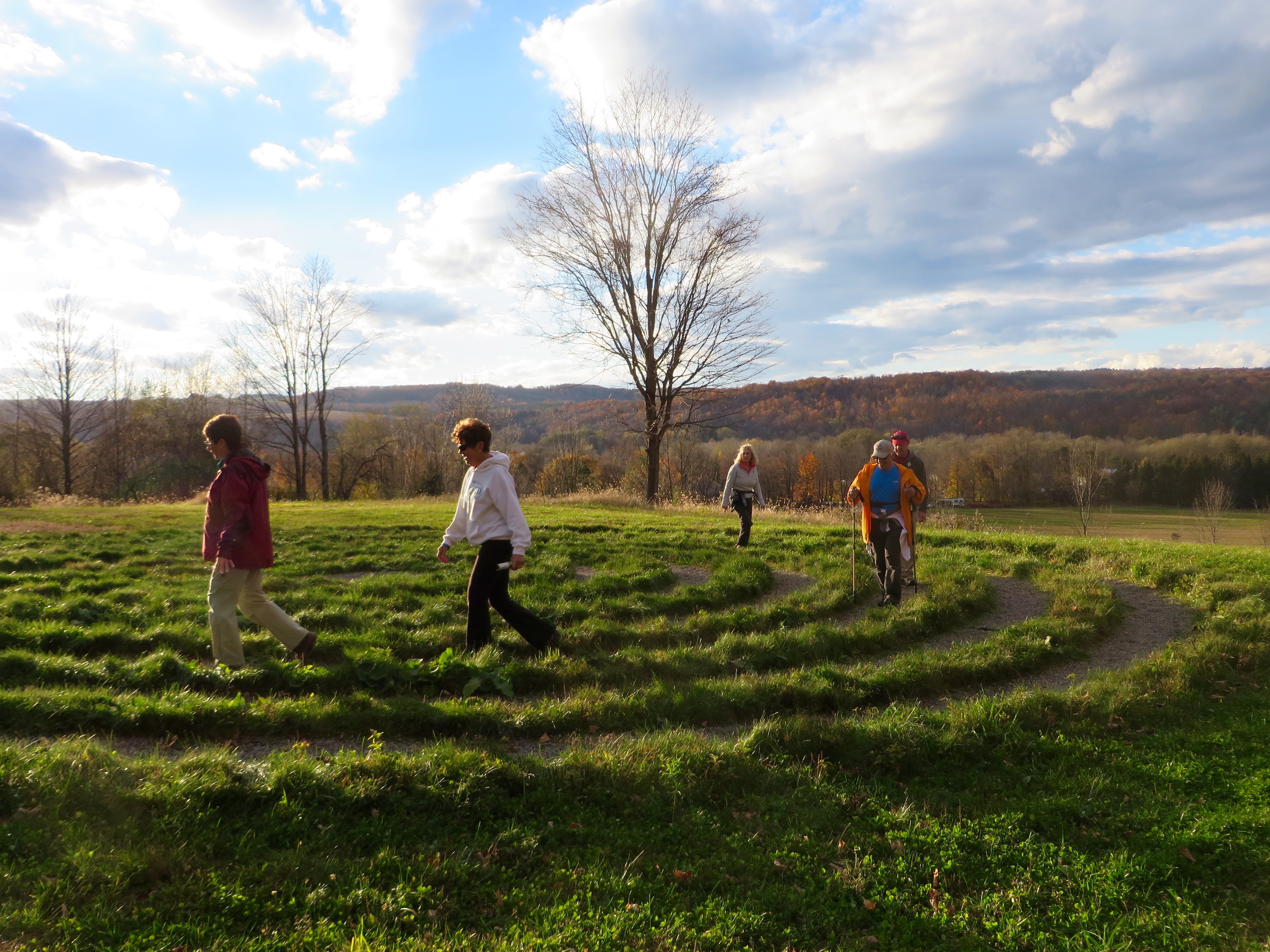
The Path includes a labyrinth which is an ancient symbol that crosses over all cultures and religions. It symbolizes a journey. Our journey today was a pleasant 6.6 miles!

#6448 – Map and Compass Hike, BREIA – October 17, 2015

#6448 – Map and Compass Hike, BREIA – October 17, 2015

Write-up: Meg Higgerson
Leader: Meg Higgerson
Co-Leader Bill Higgerson

Twenty Tramps signed up for the two-evening class, Wilderness Navigation with Map and Compass. Our instructor was Mike Quinn. The program was held at the American Legion in New Hartford, where, in addition to the excellent instruction, we had a very nice meal on both nights.

Tnt map/compass Breia
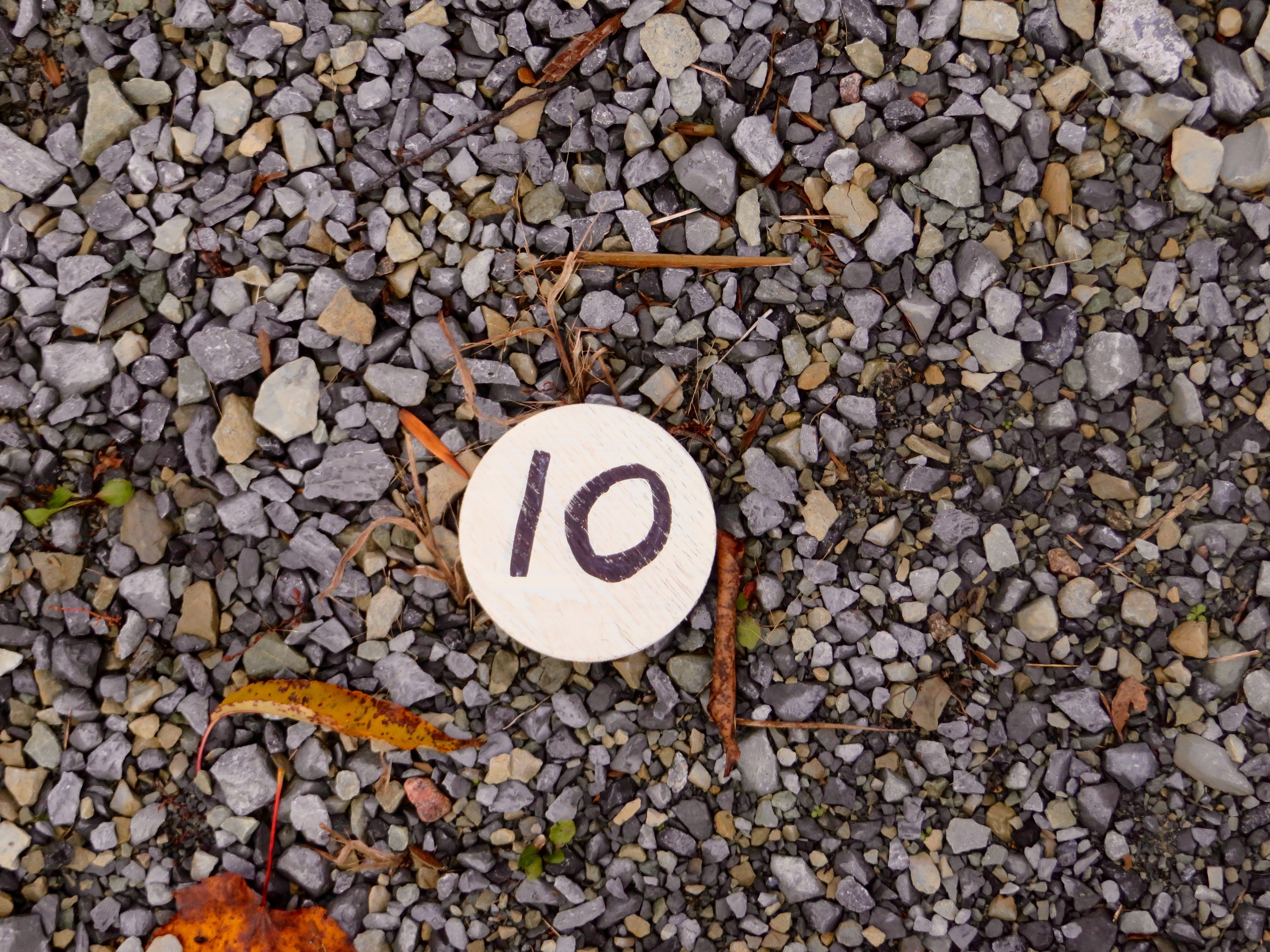
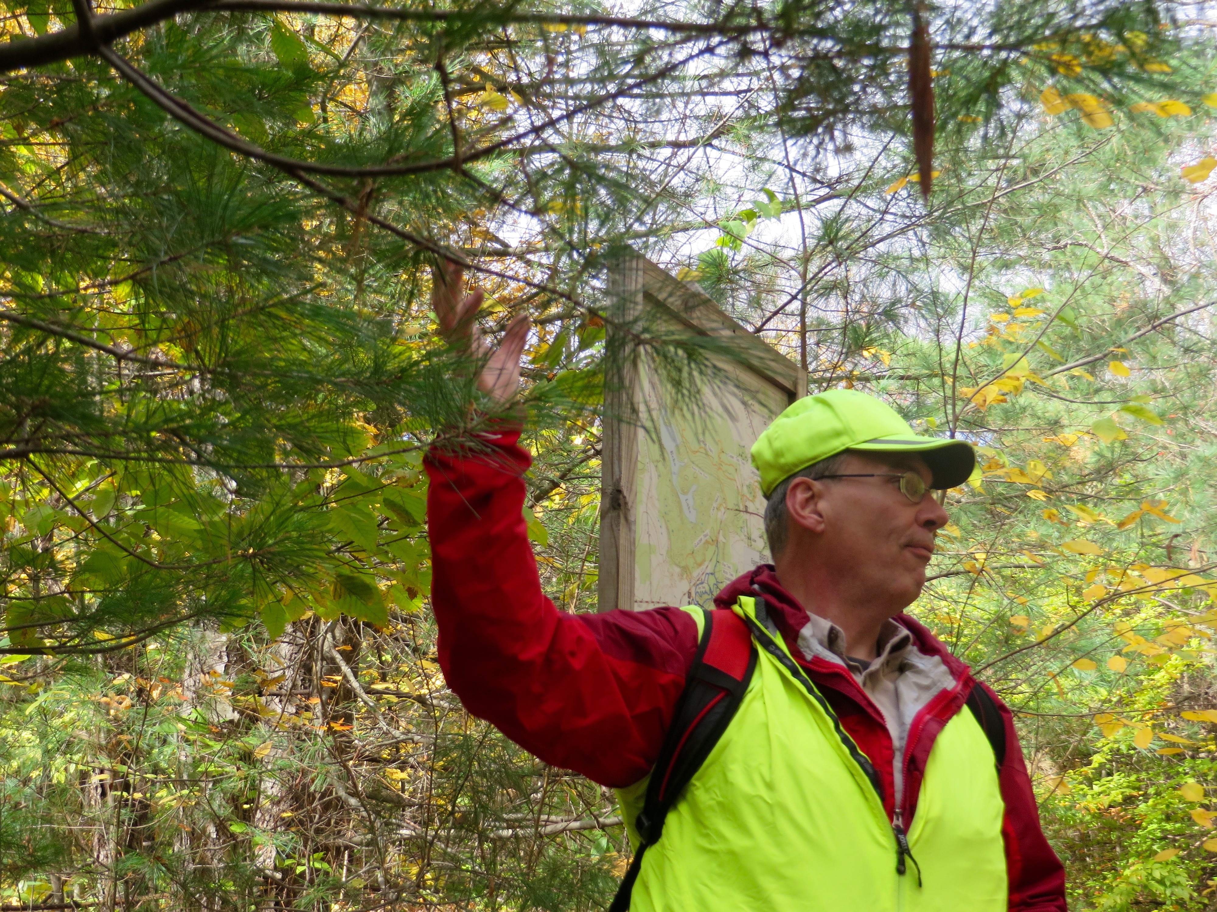
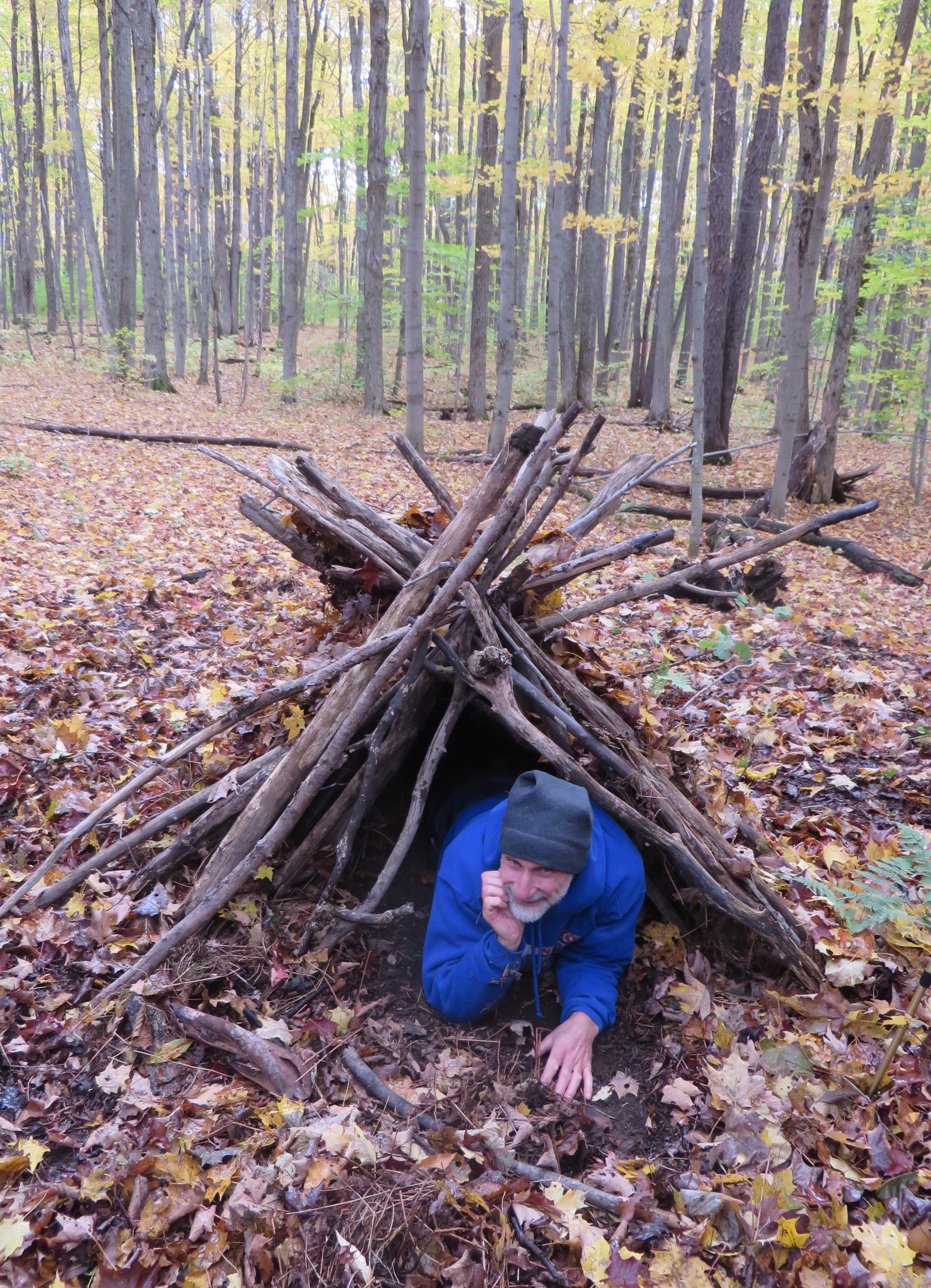
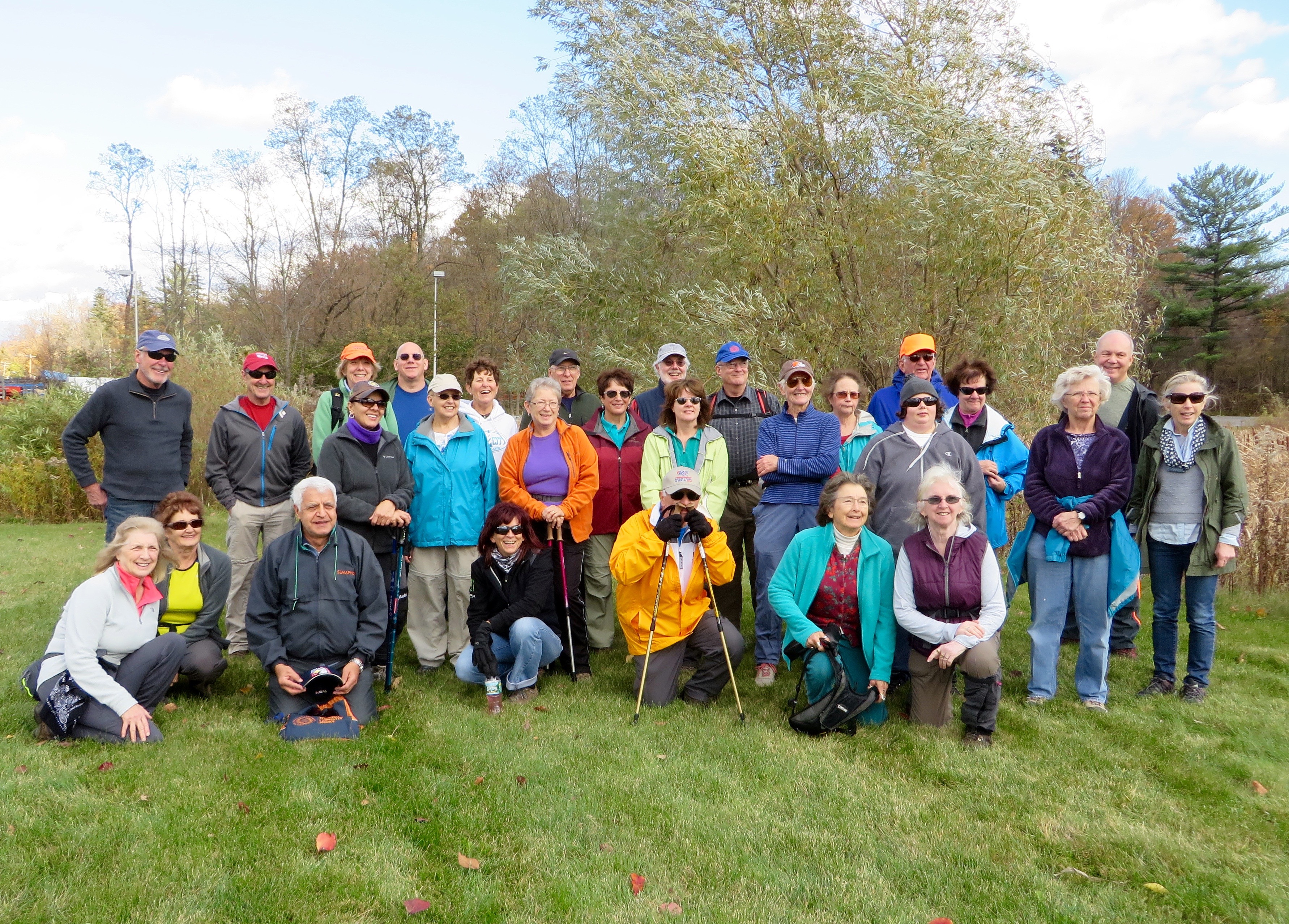
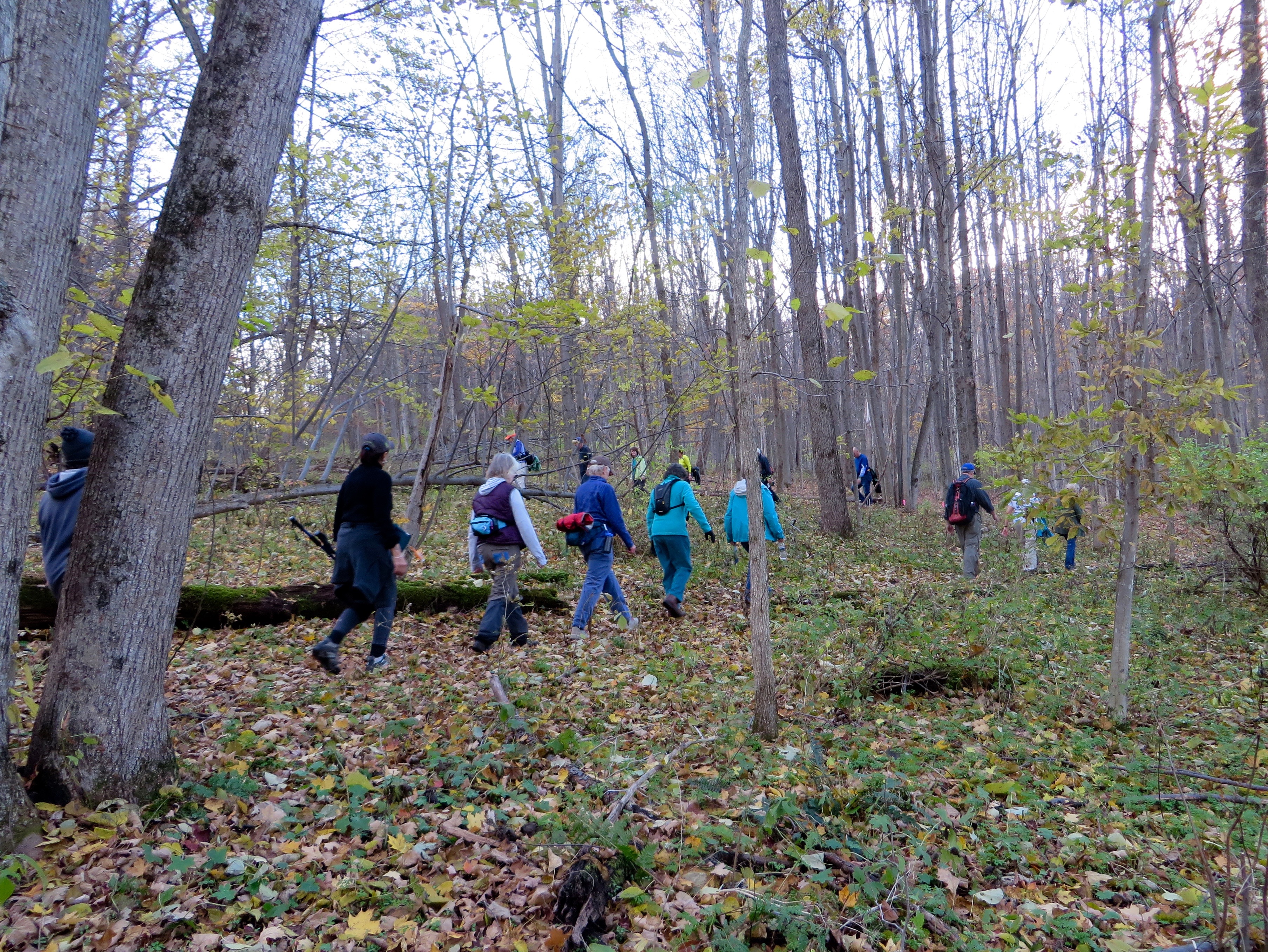
On Saturday, October 17, we proceeded to the BREIA trails where Mike had us practice taking and following Field Bearings. It was a different experience to apply what we had learned in class, to the field!

Tnt map/compass Breia

Tnt map/compass BreiaTnt map/compass Breia

#6442 – Cliffs on Good Luck Mountain – September 27, 2015

#6442 – Cliffs on Good Luck Mountain – September 27, 2015

Write-up: Barb Thomas
Leader: Barb Thomas
Co-Leader: Lou Casatelli

A beautiful day for a hike with GREAT views!
We left Middleville with thirteen Tramps.
We drove Rt. 29 & 29A to Rt. 10 and then north to the parking area. (Total 34.4 miles)
We started out on the canoe-carry trail to the lake.
Decided to turn around and go back up to the trail that goes to the registers. (.06 of a mile to the register) We signed in and continued on the old road and snowmobile trail until we came to the bridge, then the trail went right up to the cliffs.
We made our way up, admiring some of the huge rock formations. The trail has blue markers to the top of the mountain.

TnT Good Luck Cliffs Jim
There are several rock structures along the way with possible caves.

TnT Good Luck Cliffs Jim
We arrived on top and other hikers were there. A family was cooking hot dogs and having lunch. At the outcrop, with great views, we had our lunch and enjoyed the beautiful scenery. (Weather was perfect.)

TnT Good Luck Cliffs JimTnT Good Luck Cliffs Jim
Following lunch and socializing, we started back down the same trail. We passed the huge rock formations again and returned to the snowmobile trail. We returned to the trail register and then down to the parking area.

The Tramps wanted to stop for a cold drink and they decided to go to the restaurant near the golf course, on 29A.* We sat outside enjoying the view and conversation. It was a beautiful day to enjoy this outing with the Tramps.

*Editor’s Note: The 19th Hole at Nick Stoner’s Golf Course

#6441 – Saranac Weekend, Baker Mountain – September 27, 2015

#6441 – Saranac Weekend, Baker Mountain – September 27, 2015

Write-up: Mary Pat Connors
Leader: Roger Felske
Co-Leader: Mary Pat Connors

On Sunday morning, a group of 10 Tramps met at McDonalds in Saranac Lake.

Our group from the kayak the day before, was slightly changed. We added two who had climbed St. Regis instead of kayaking, and lost one who decided to climb some High Peaks. We didn’t think anyone would come up from Mapledale just for this hike but since it was on the schedule, we did wait. Luckily we were ready to leave just as a busload of travelers arrived. It was chaotic!

We had another wonderfully clear day for our hike up Baker Mountain aka Mount Baker. This 2,452-foot mountain is located just outside of Saranac Lake Village.

TnT Baker Mtn. Roger

The trailhead begins just across from the north end of Moody Pond. It is a short .9-mile trail but is steep with an elevation gain of over 900 feet. The summit has little view, but just below the summit, there are great views of the Village of Saranac Lake, the McKenzie Mountain Wilderness Area, and toward the High Peaks Region. It is part of the “Saranac Lake 6er Challenge.”

TnT Baker Mtn. Roger              TnT Baker Mtn. Roger

Since this hike was on the shorter side and it was so beautiful out, we decided to add another unscheduled climb up Coney Mountain, south of Tupper Lake on NY30.

We found this trail, newly built in 2009, to be extremely enjoyable. For a mere 2,267-foot mountain, Coney offered spectacular 360-degree views from its mostly bare rock summit. We were able to see the Seward’s as well as Santanoni Peak in the east, and Little Tupper and Tupper Lake. We spent a good amount of time at this summit, basking in the sun and breeze, hating to have the weekend come to a finish.

TnT Coney Mt. Roger
Coney Mountain
TnT Coney Mt. Roger
Coney Mountain

We couldn’t have had better weather for Saranac Weekend. Our kayak and hikes were extremely enjoyable, and our time together was memorable. The only mishap was on the way home. After two members stopped to buy ALL new kayaking equipment, they hit a deer. They were fine, there was little damage to their truck, and luckily none to their new kayaks.

#6439 – Saranac Weekend, Raquette River – 9/26/15

#6439 – Saranac Weekend, Raquette River – 9/26/15

Write-up: Mary Pat Connors
Leader: Mary Pat Connors
Co-Leader: Roger Felske

IMG_1991 copyNine Tramps set out on a beautiful crisp September morning from Axton Landing (off Coreys Rd. between Tupper Lake and Saranac Lake), traveling upstream toward the Raquette River Falls. There was a chill in the air when we began but soon the sun in the cloudless sky warmed us.

We passed Stony Creek, paddled under the cable enabling a small tram to cross the river and negotiated the twists and turns of this sinuous river. The most noticeable characteristic of the river was the water level. It was the lowest I had ever seen it, and this sentiment was echoed by a local fisherman. Muddy flats and rocks were exposed like never before. The low level made paddling a challenge in certain areas, where we just barely skimmed the bottom.

We paddled leisurely, soaking up the sun and the beauty of the river and the forest of silver maples and white pines. We stopped several times to get out and stretch, and to have a meal, a snack or some homemade cookies. One stop was at a popular campsite, site of a lean-to and a newly installed timber retaining wall.

IMG_1997 copy

Upon arrival at the falls, we took the hike to Lower Falls, took many photographs, and inspected the Ranger’s cabin. We were pleased that there was still a mighty flow from the upper river.

TnT Raquette River Roger

TnT Raquette River Roger              TnT Raquette River        TnT Raquette River Roger

Since we had taken our time paddling to the falls, time was of the essence on the return. We traveled rapidly with the current, without stopping, back to our cars at the Landing.

That night, a few tramps camped at Fish Creek campground, and the others stayed at the Adirondack Motel in Saranac Lake.

TnT Saranac Lake

#6437 – Twitchell Lake – September 19, 2015

#6437 – Twitchell Lake – September 19, 2015

Write-up: Mike and Janice Huss
Leader: Mike Huss
Co-Leader: Janice Huss
Pictures: Jim Wasielewski, Mary Pat Connors

TnT Twitchell Lake 9/19/15

Twenty-nine tramps started our hike on a beautiful fall day. It was sunny, in the low 70’s, with a light but steady breeze. The beginning of the trail was a very long hill that never seemed to end. We all made it up without too much complaining by the co-leader. Once at the top, we hiked along a ridge that paralleled Twitchell Lake. The trail was well marked. This summer, our leader had joined with a group from ADK to help with trail maintenance on this part of the trail. They found that the beaver had created a dam farther down-stream and as a result the original trail near Oswego pond was now covered with water. They created an alternate trail around the dam and marked it with orange tape. We had no trouble following this new trail and picking up the original trail at the other end. We continued on and found a nice spot to enjoy lunch. The return hike was pleasant. The breeze continued and helped to keep us all comfortable.

As we came out of the woods and made our way back to our starting-point at the state landing on Twitchell Lake, we could see Jim Huss (Mike’s brother) and his friend, Tom Napier, each navigating their large rafts to the boat launch. We also discovered that Jim and Tom had thoughtfully placed enough Adirondack and camp chairs on the rafts so that everyone had a place to sit. Tom even had a picnic table on his raft! They tied the rafts together and 20 tramps boarded, with their beverages and snacks, for the start of a very pleasant cocktail cruise down the lake.

TnT Twitchell Lake  TnT Twitchell Lake

Jim Huss pointed out many points of interest along the way. We also spotted a pair of loons who had taken up residence on the lake. The loons made several appearances during our cruise, sometimes coming within good viewing distance of us.

TnT Twitchell Lake

About half-way down the lake it started to rain and our skipper decided to turn around and head back to shore. By the time we got back to the boat launch, the rain had stopped and the sun came out. Figures!! Regardless of the rain, we were able to spend an enjoyable hour on the lake, eating, drinking, enjoying the beautiful scenery, and conversing with fellow tramps.

# 6432 – Wakely Mountain Fire Tower – September 5, 2015

# 6432 – Wakely Mountain Fire Tower – September 5, 2015

Write-up: Meg Higgerson
Leader: Meg Higgerson
Co-Leader: Grace McNasser

In record-breaking heat for a Labor Day Weekend, eight Tramps drove north toward Indian Lake.

At our stop at the Speculator Firehouse, our Co-Leader offered us freshly baked and still warm blueberry muffins. We reached the trailhead around 10:45 and began the relatively flat hike for about 2 miles. The heat and humidity were quite stifling, even for the birds and forest creatures. With the exception of our own chatter, we hiked in silence.

We came to a fork in the trail. One path led to a former beaver dam and the other to the fire tower. We started to climb and scramble over rocks and roots. We all agreed that the 1194’ elevation change in that last mile was a difficult one and the heat and humidity added to the challenge.

Upon reaching the fire tower, we first sat in the shade of the ranger’s cabin to eat lunch.

TnT Wakely Mtn. Fire Tower

Sharon’s daughter Amanda joined our hike today. She is working on her “Fire Tower Challenge.” Her goal is to not only to climb all the fire tower mountains, but to have her picture taken up there doing a handstand!!!

TnT Wakely Mtn. Fire Tower
Amanda Zdanowicz

Following lunch the rest of us did gymnastics as we all took turns climbing the 8-story,
92-foot fire tower and were wowed by the beautiful views of Blue, Snowy, Cedar River and Raquette Lake. After an hour spent on the top of Wakely admiring the views and the antics, we started our descent at 1:30.

TnT Wakely Mtn. Fire Tower

The return hike was a bit quicker in spite of some trips and stumbles along the way but we all made it safely back to the cars for more solar-warmed muffins and ice-cold watermelon.

watermelon


Thanks to Sharon Kaelin and Amanda Zdanowicz for the photos.
Well, except for the watermelon, which I stole from the internet.
MPC

#6436 – Kalies Trail – September 13, 2015

#6436 – Kalies Trail – September 13, 2015

Write-up: Mike and Janice Huss, and Steve Kalies
Leader: Steve Kalies
Co-Leader: Janice Huss

On a cool, overcast day, fifteen Tramps took a chance that the rain would hold off and set out on a new trial on privately owned land in Clinton. The property owner, Dick Knoeller, had given us permission to hike his property and had allowed Steve and Mike to cut and mark trails throughout the property. Dick had even mowed the tall grass in the field so that there would be a well-defined path for the first part of the hike. There were many wild apple trees along the trail. The sweet fragrance of fallen apples was quite pleasant and we picked some apples to eat along the way. The second part of the hike was through a hard-wood forest. As we started into the hard-woods, there was a gradual incline until we reached the highest point of elevation on the property. From there we went down a beautiful part of the trail where large trees towered over us. Then we came to the first of four ravines. Our walking poles were very helpful in negotiating the steep climbs down one side and up the other. A small stream was running through the center of one ravine and we could see a small waterfall cascading down a rock formation at one end. We stopped for a few minutes to enjoy the scene. Upon emerging from the last ravine we saw a small shed with a sign reading “Cold Drinks Here”. There, Dick had placed beer, water, and power drinks in a large cooler for all the hikers. It was an unexpected and thoughtful thing for him to do. As we were enjoying our beverages Dick joined us and we were able to thank him in person. After finishing our drinks, we continued on to the next part of our hike, the tour of Steve’s gardens.

Steve’s property adjoins Dick’s and we made our way down the long hill that leads to Steve’s property. We walked along the perimeter of his three-acre fenced yard until we reached the front of his home where we entered through a gate. Steve led the way along the many paths through his beautiful gardens, explaining about the various species of trees and plants we were seeing and also sharing the stories behind many of the sculptures nestled among them. Some of the things we saw were his formal sculptured garden, vegetable garden, apple trees, and berry bushes. It was a beautiful way to end a unique hike.

Afterward, some of us drove into Clinton for a beverage at the Village Inn, pizza at Giovanni’s Pizzeria, and ice cream at All Season Café Ice Cream Parlor. It was a thoroughly enjoyable day.

#6435 – Annual Corn Roast – September 12, 2015

#6435 – Annual Corn Roast – September 12, 2015

Write-up: Mary Lou Miller
Leader: Gail Hannahs
Co-Leader: Louis Casatelli

55 Tramps attended this year’s corn roast at the Trenton Town Park. Dick Blanchard lead a bike hike at 10:00am and Barbara Thomas lead several on a hike after the main event. Gail and Louie did a great job, as always. Everyone enjoyed the meal and time spent with friends. It was great to see some “old timers” and many enjoyed looking at photos taken at several hikes, many of which went back a few years.

#6434 – Long Path North – September 7, 2015

#6434 – Long Path North – September 7, 2015

Write-Up: Deb Roberts
Leader: Deb Roberts
Co-Leader: Bobbie Scarpino

The hike, along a section of Long Path North, went from Cotton Hill State Forest into the village of Middleburgh. Our group of six hikers enjoyed the diversity of the trail, but not so much the temperatures. It was in the high 80’s with little breeze until we reached the ridge. Taking frequent rests and drink breaks, we were on the trail for approximately 4 hours. The views from the ridge were spectacular, as we looked down on the sleepy village and farmland. After our hike, we stopped for some well-deserved ice cream! What great company!

P.S. We all survived the lemon squeeze!
This was a crevice in the rocks we ‘squoze’ thru as part of the trail.